DAY 1
Sainj to Shakti
Travel from Sainj to Shakti and settle into camp. Meet the local team, review the route and prepare for the days ahead.
Nature · high mountains · mindful travel
From sanctuary trails and quiet wildlife observation to a high-altitude expedition, winter Spiti and outdoor yoga—travel with local context and care.
Sainj Wildlife Sanctuary · 6 days / 5 nights
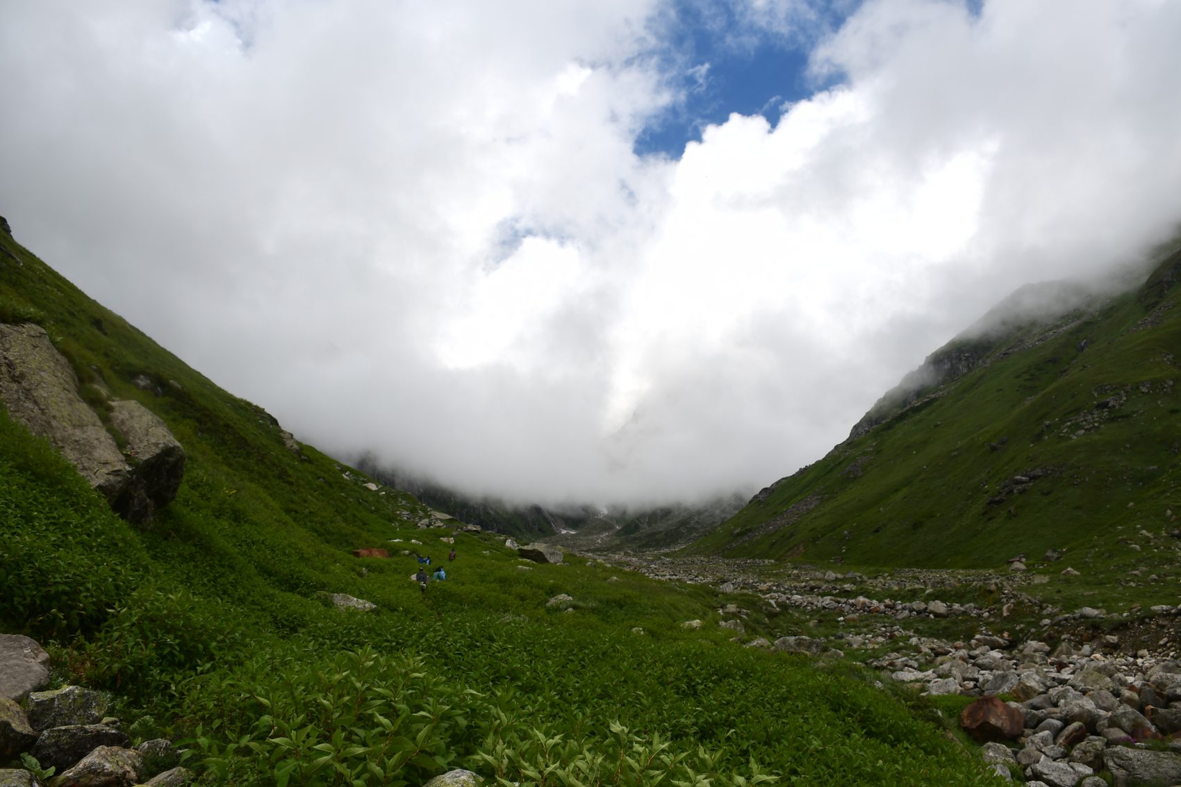
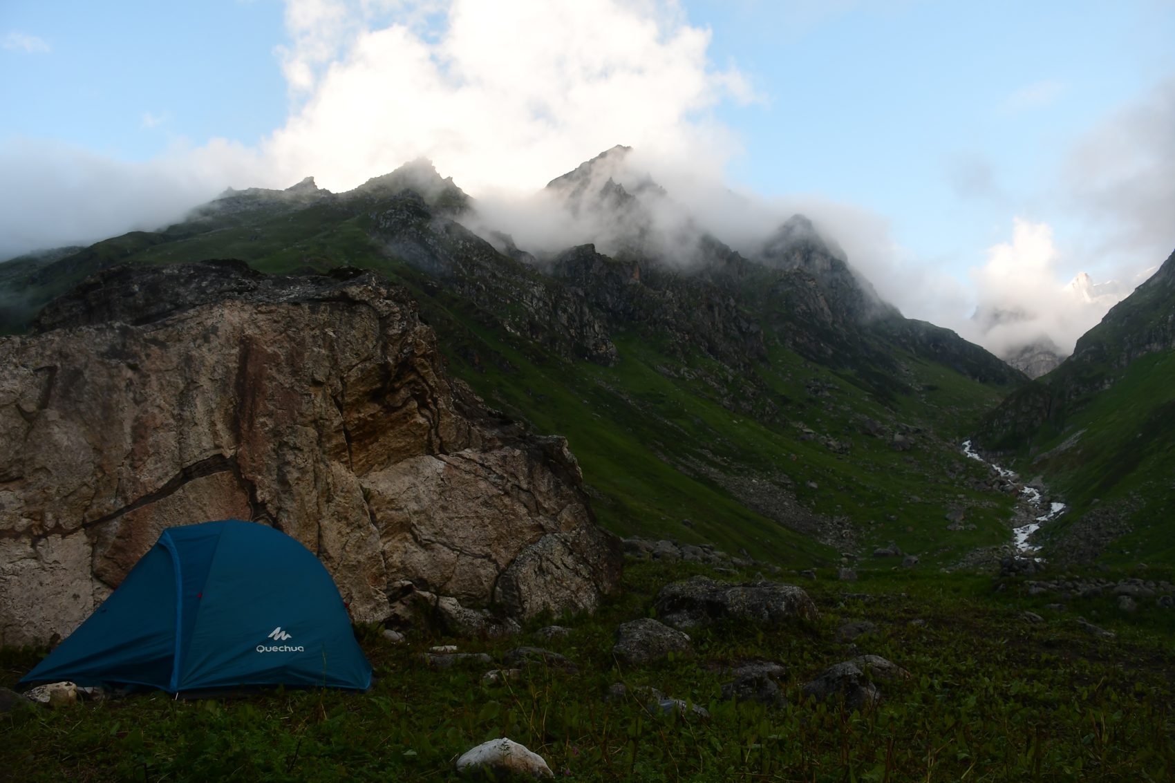
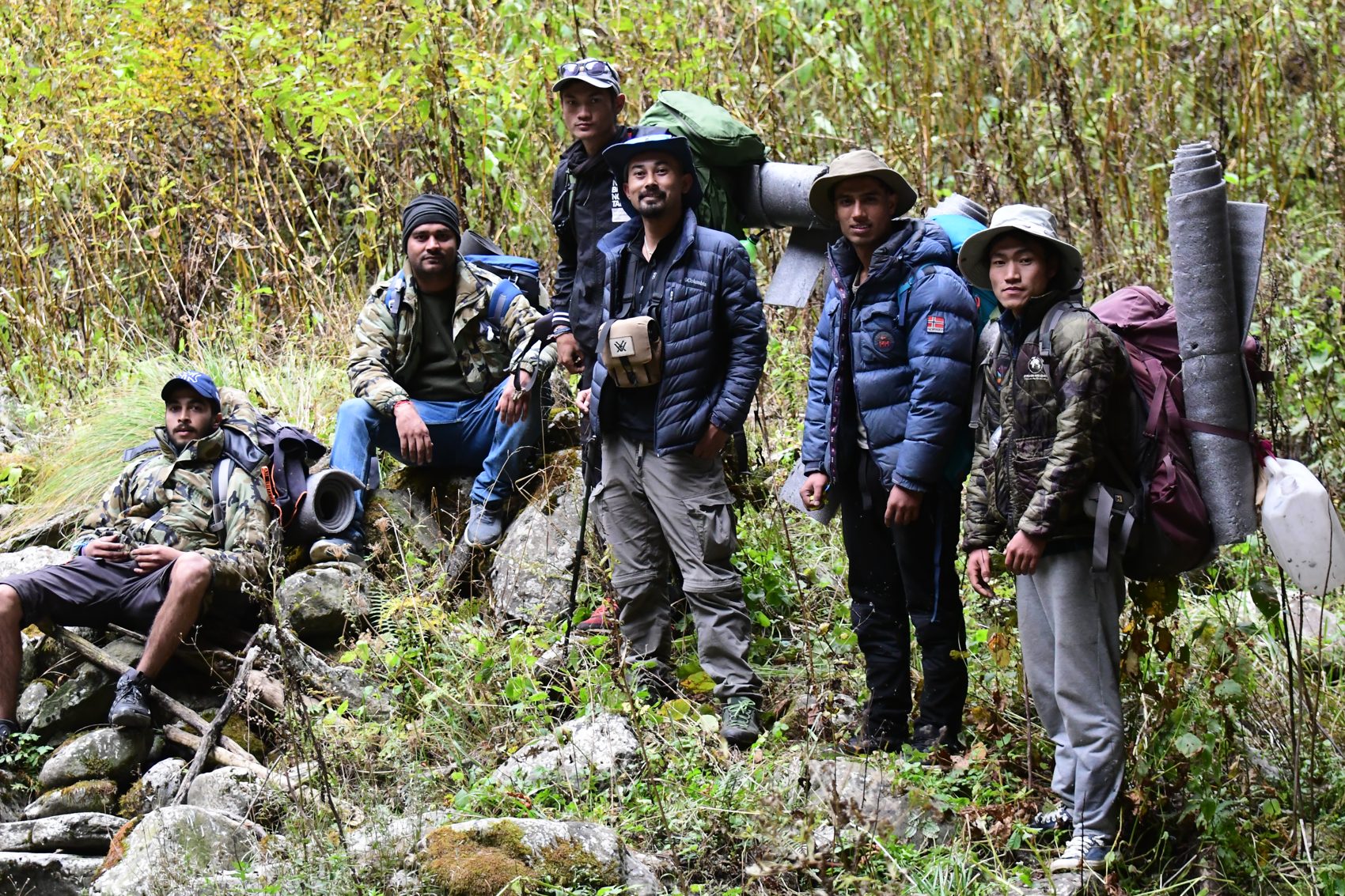
A multi-day walk into Sainj’s forested and high-country landscapes, following your camp sequence at an unhurried pace. The route and camp locations are subject to current forest permissions, trail conditions and local guidance.
Travel from Sainj to Shakti and settle into camp. Meet the local team, review the route and prepare for the days ahead.
Continue on foot through the sanctuary landscape to Karechad. Walk steadily, with breaks for water, views and observation. Camp at Karechad.
Follow the trail onward to Suchaingarh. Your guide sets the pace and identifies a suitable campsite on arrival.
Spend a full day exploring the surrounding terrain on foot. Keep the day flexible for landscape interpretation, wildlife signs and rest. Return to camp at Suchaingarh.
Retrace or follow the locally approved trail toward Maror. Camp at Maror and enjoy a relaxed evening with the group.
Complete the return journey to Sainj and conclude the trek.
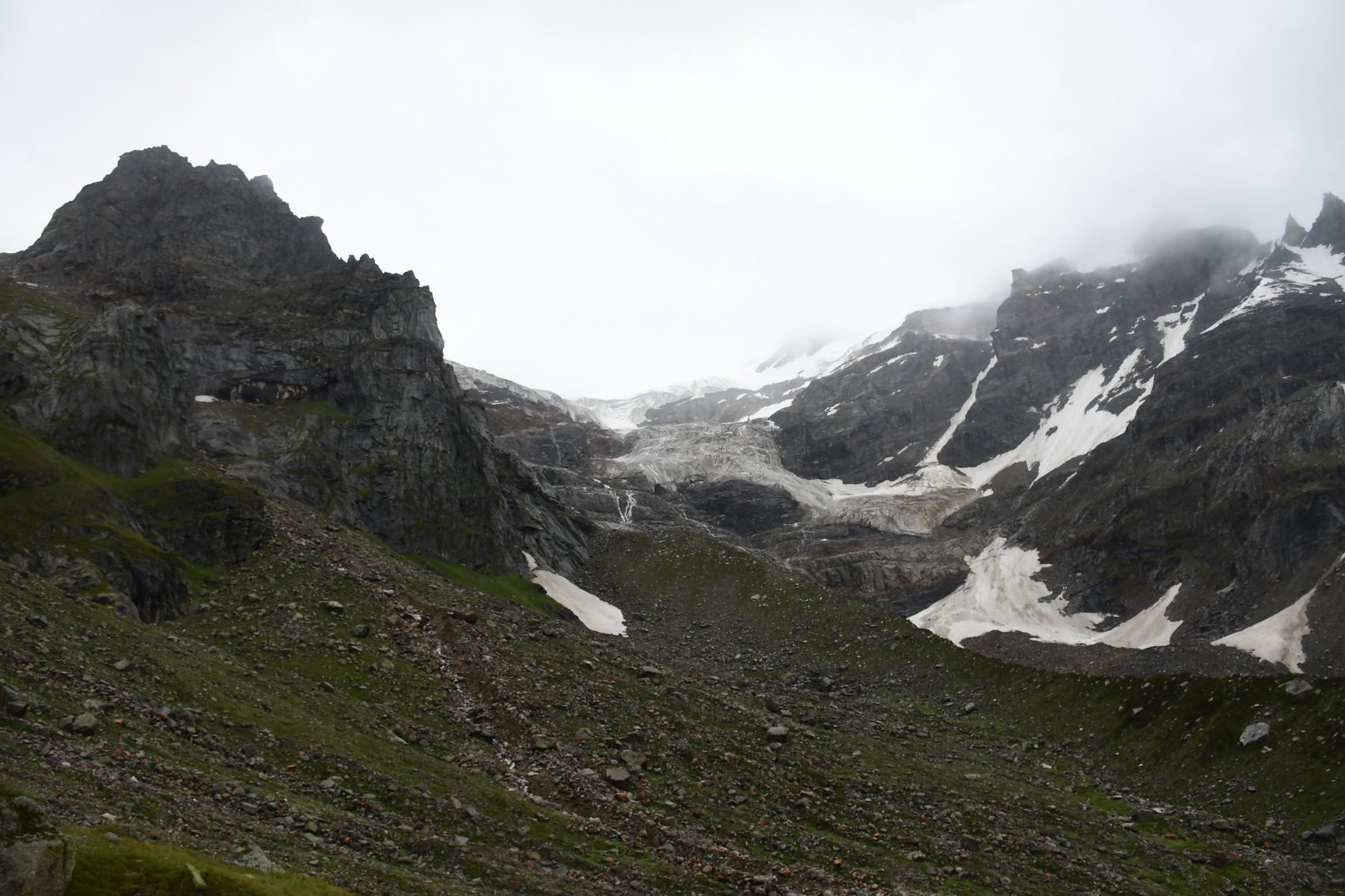
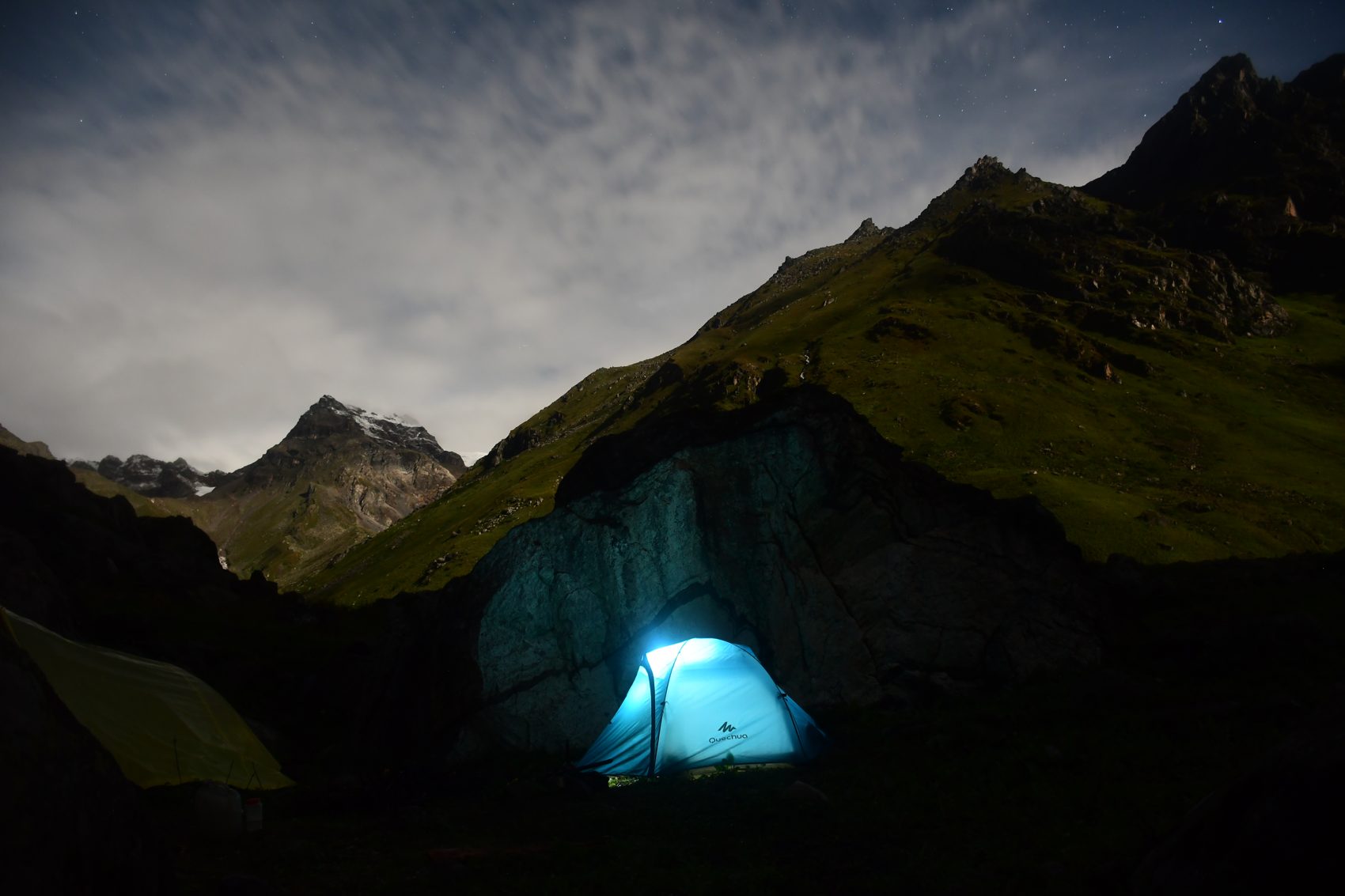
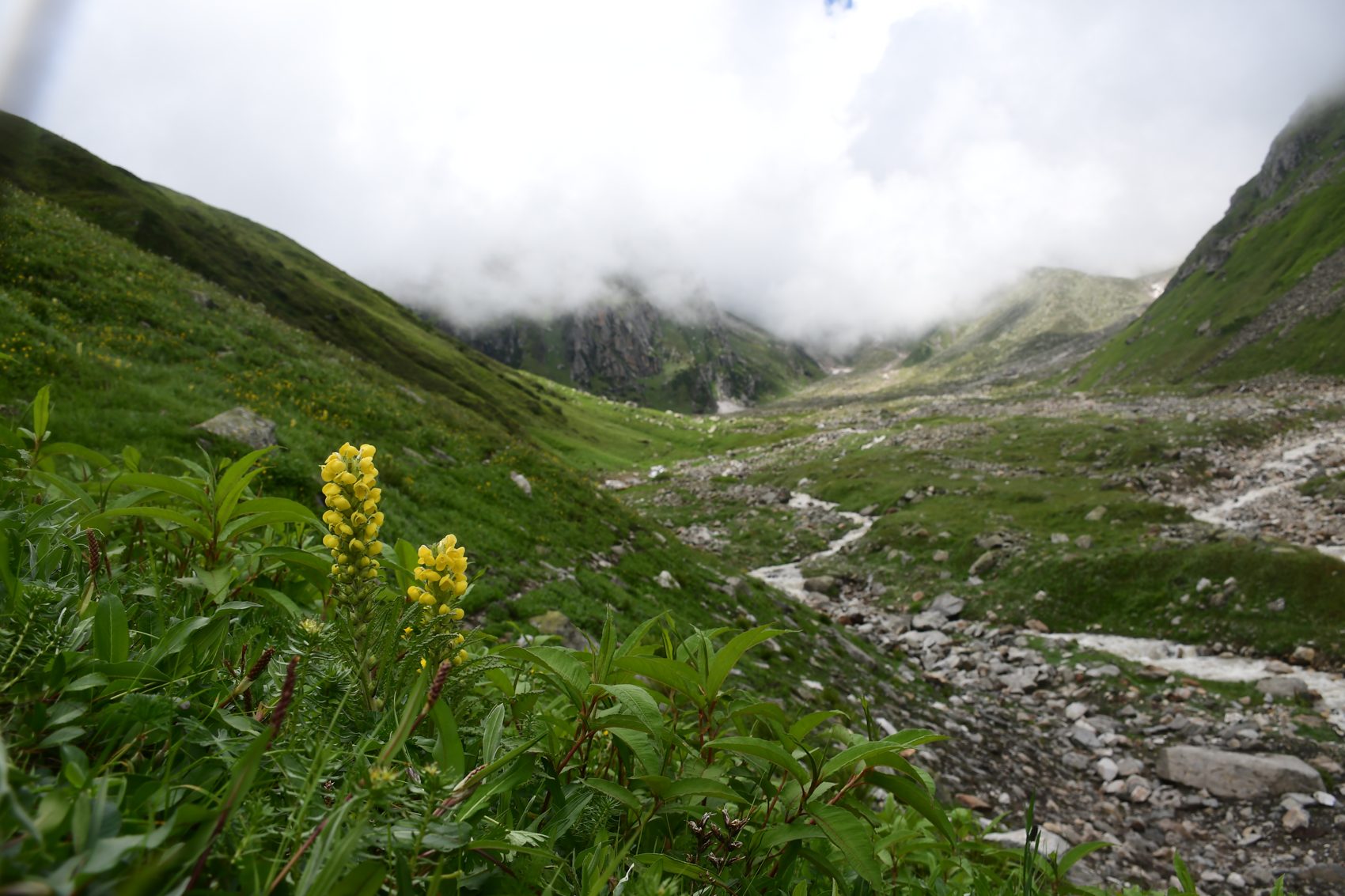
Wildlife tours · Great Himalayan National Park
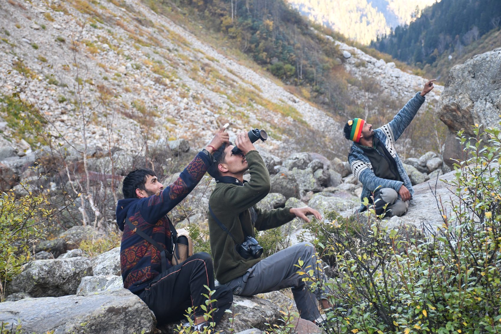
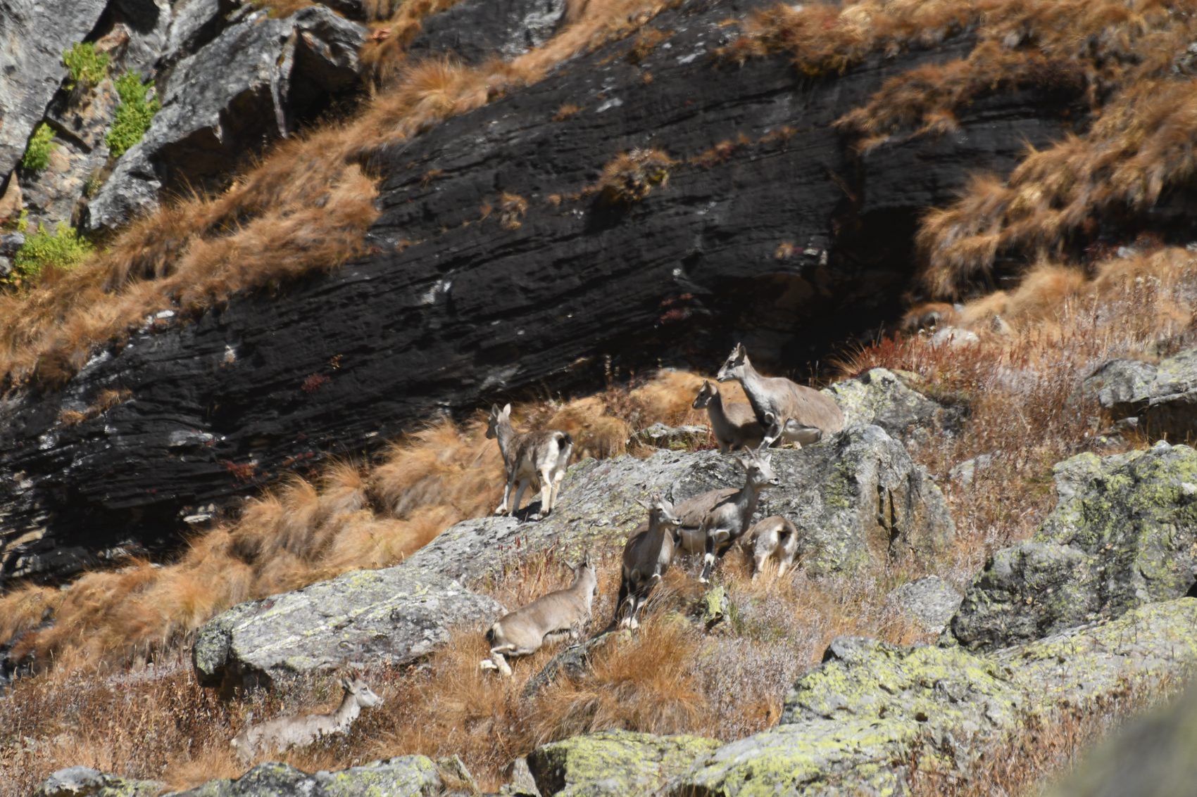
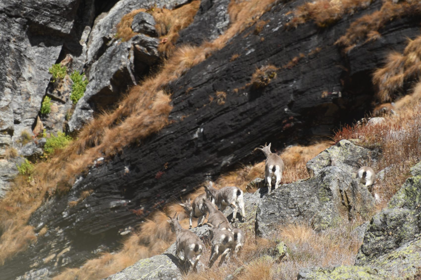
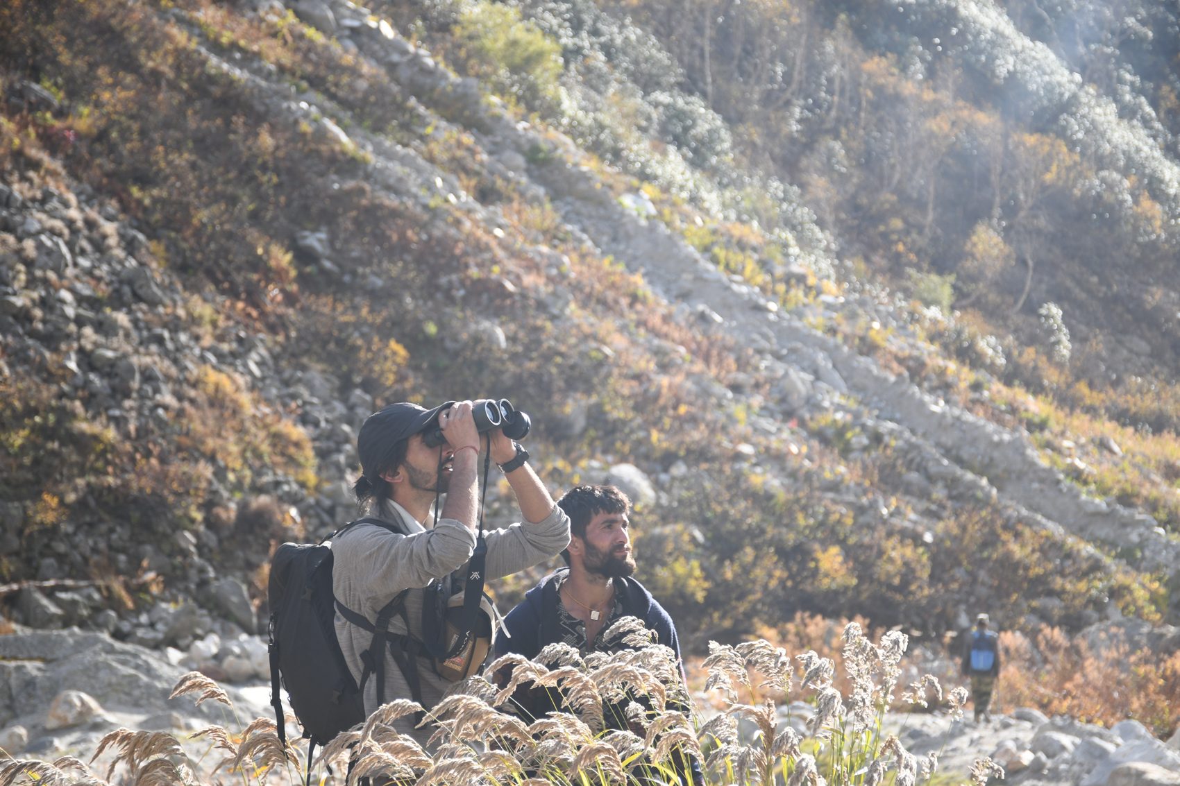
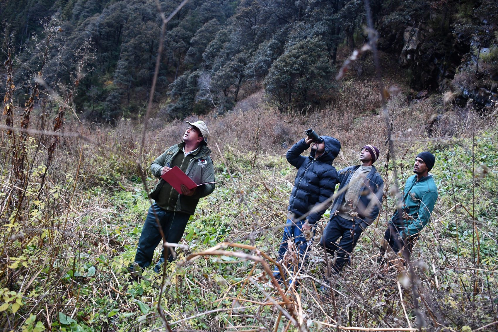
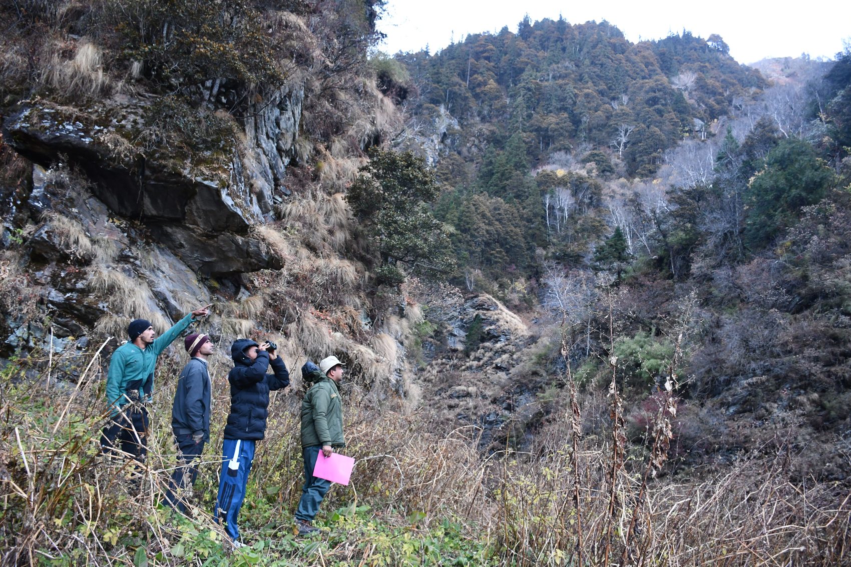
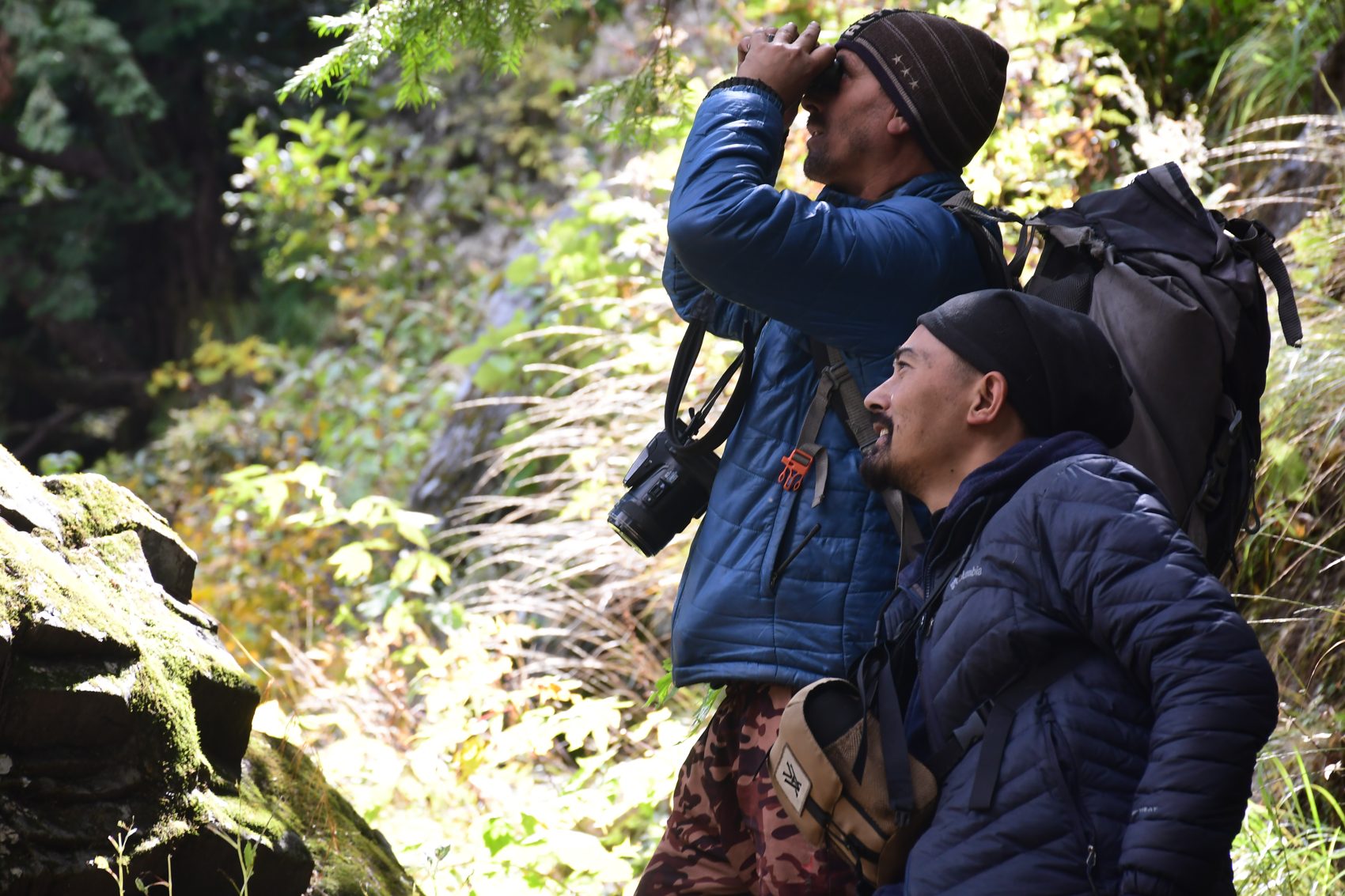
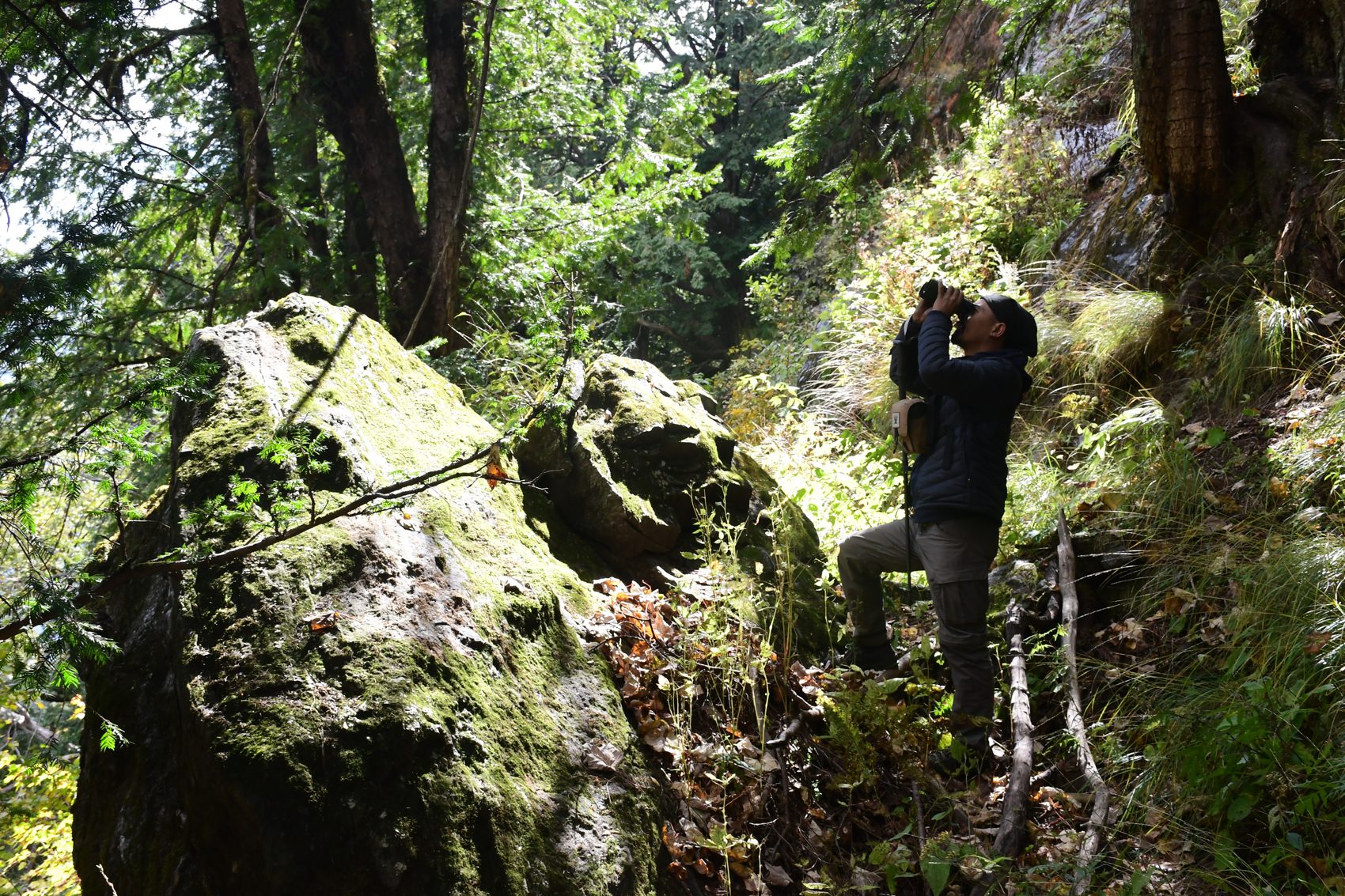
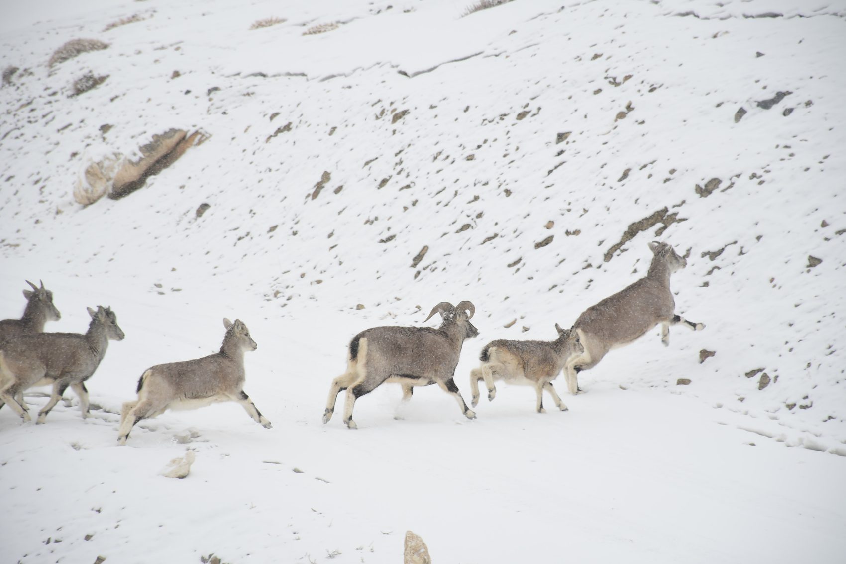
Join a local naturalist for a patient, foot-based nature walk through suitable forest and valley habitats around the Great Himalayan National Park. Learn to read tracks, calls, feeding signs and changing habitats; pause for birds and wildlife only when conditions allow. The park is home to remarkable Himalayan biodiversity, but sightings are never promised.
GHNP authorities describe a rich assemblage of mammals and birds, including species such as western tragopan, Himalayan monal, Himalayan tahr, musk deer and Himalayan black bear. These are examples of park wildlife, not a sighting guarantee for any one walk.
Bring binoculars, quiet-coloured layers, water and sun/rain protection. Wear comfortable walking shoes. Follow your guide’s instructions, keep a respectful distance, do not feed or call animals, and avoid sharing sensitive wildlife locations.
Routes, visitor access and permits are controlled by park authorities. Confirm current openings and permissions before travel; approved routes may change seasonally. Wildlife observation is conducted on foot—GHNP has no provision for motor safaris.
Park information: GHNP Fees, Rules & Guidelines · GHNP Flora & Fauna · Current GHNP notices
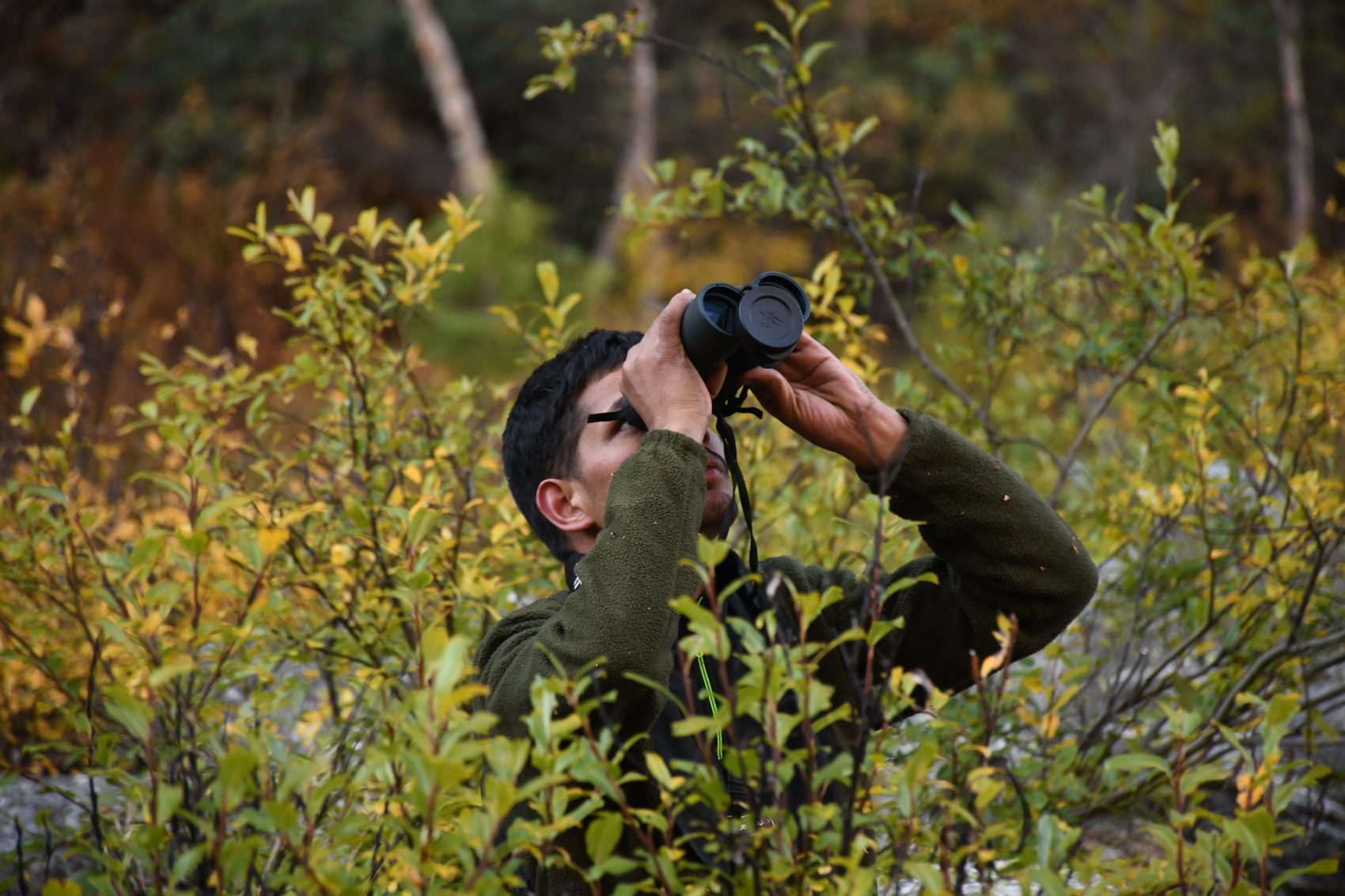
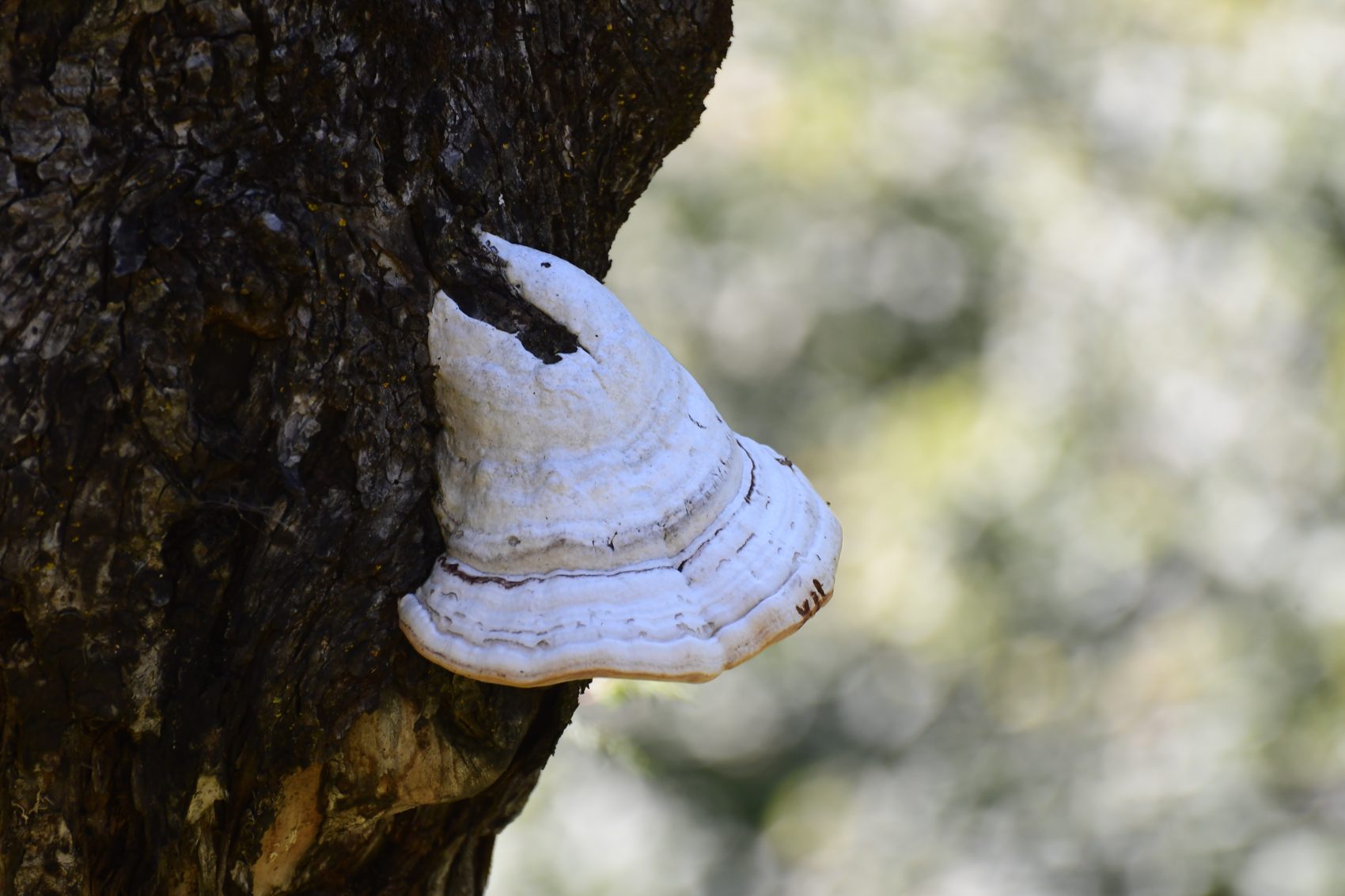
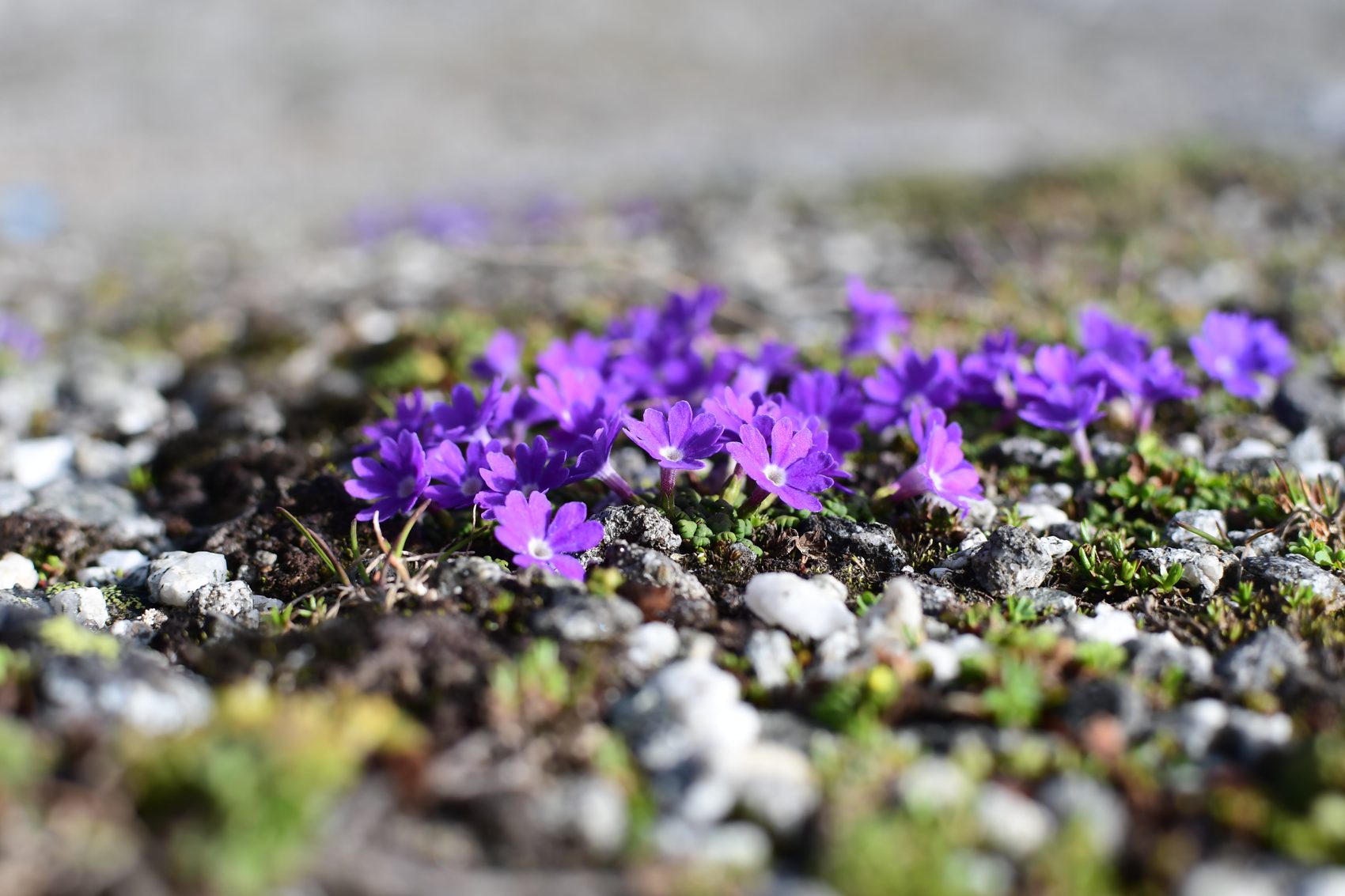
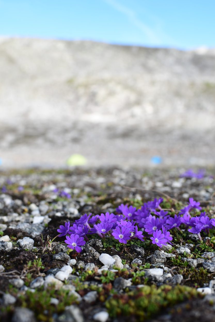
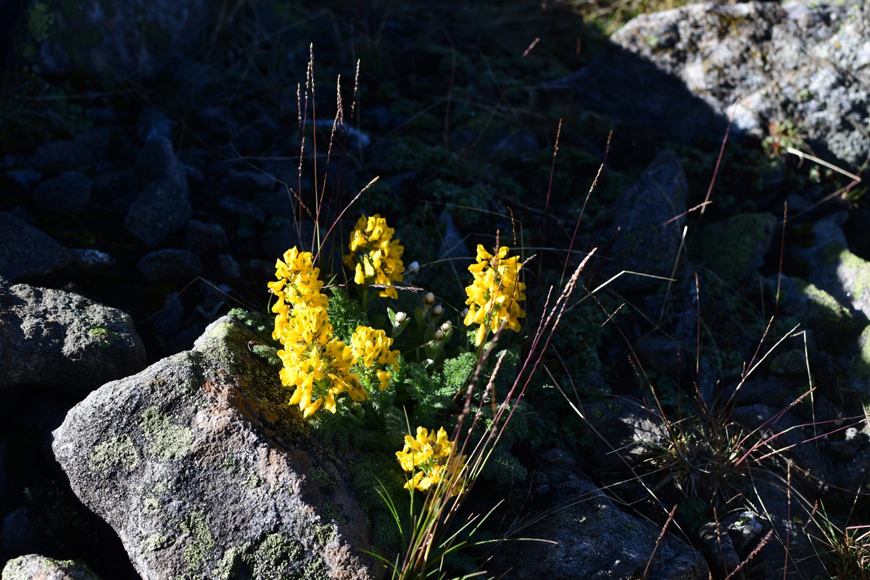
Field notes · plants, fungi, insects and forest
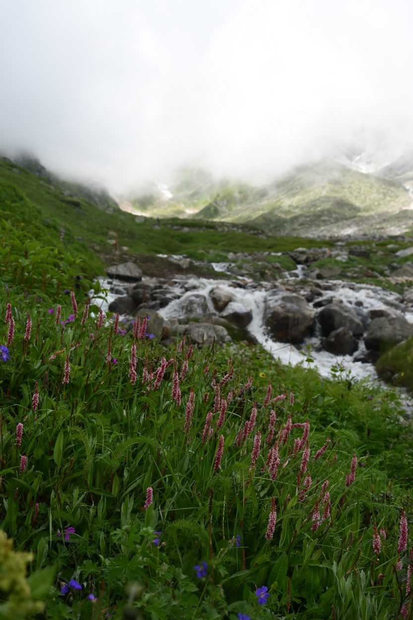
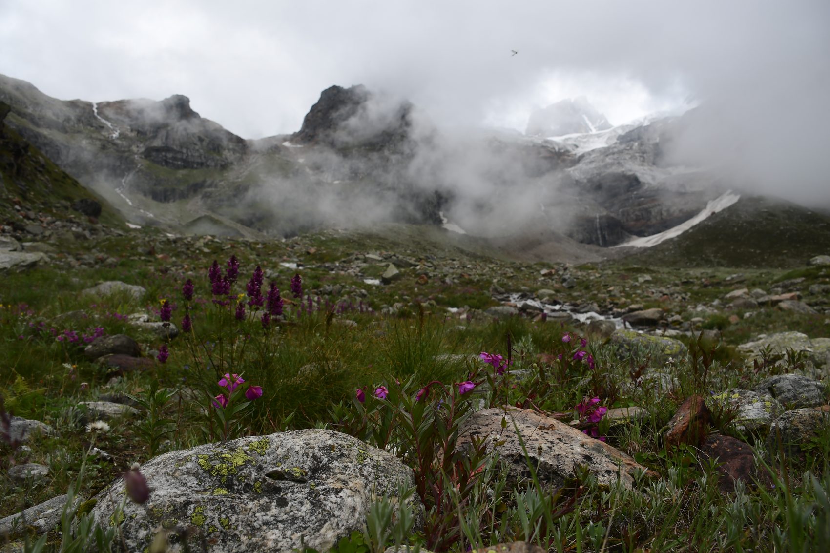
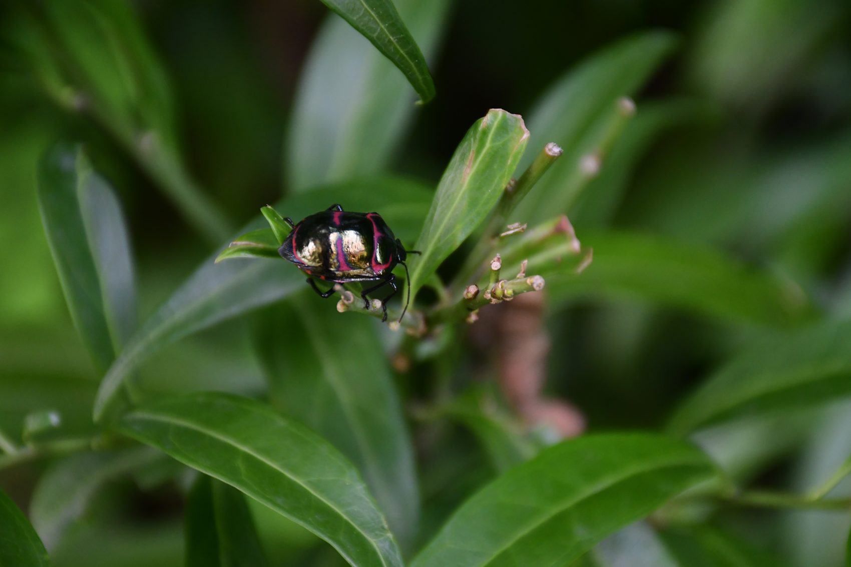
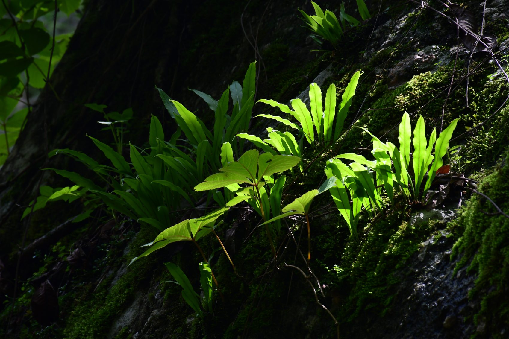
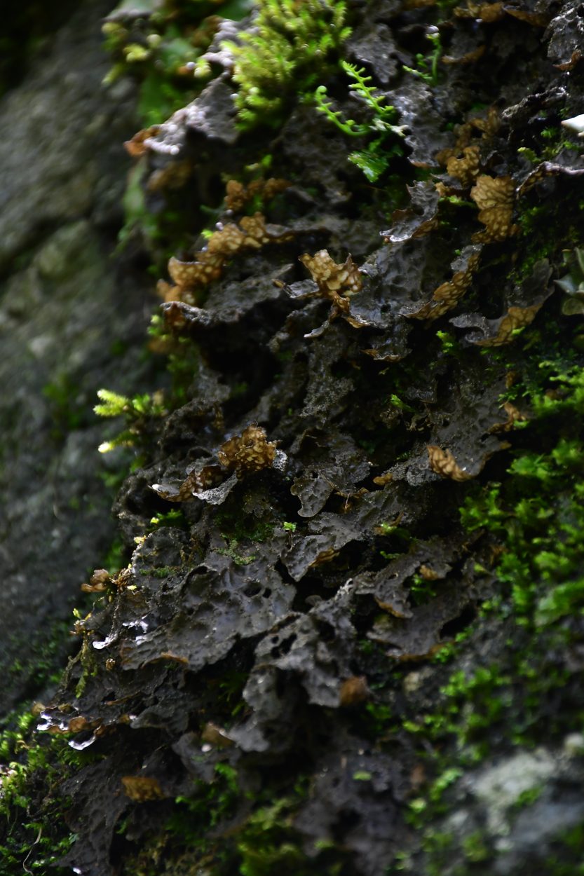
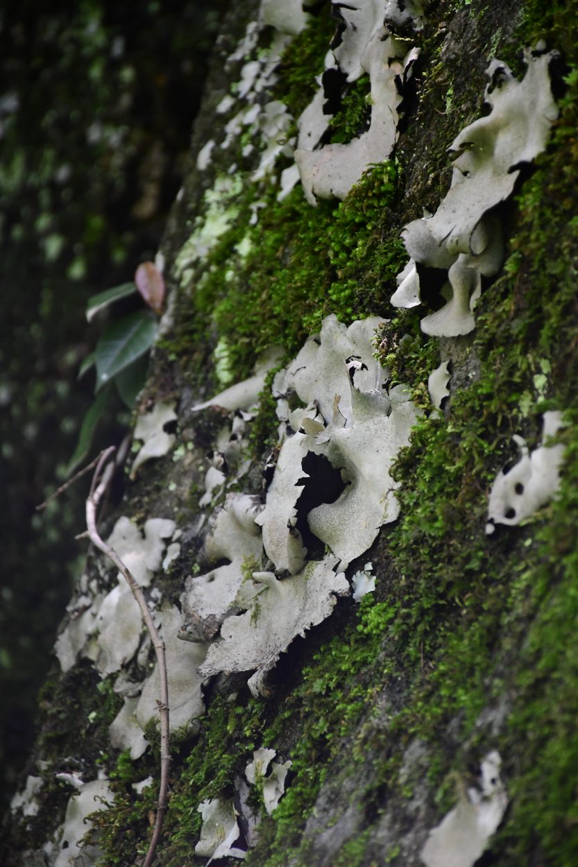
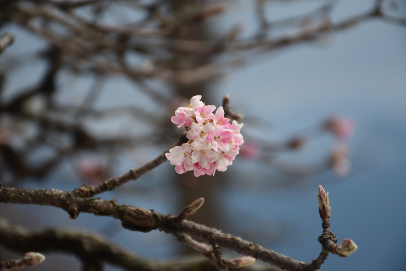
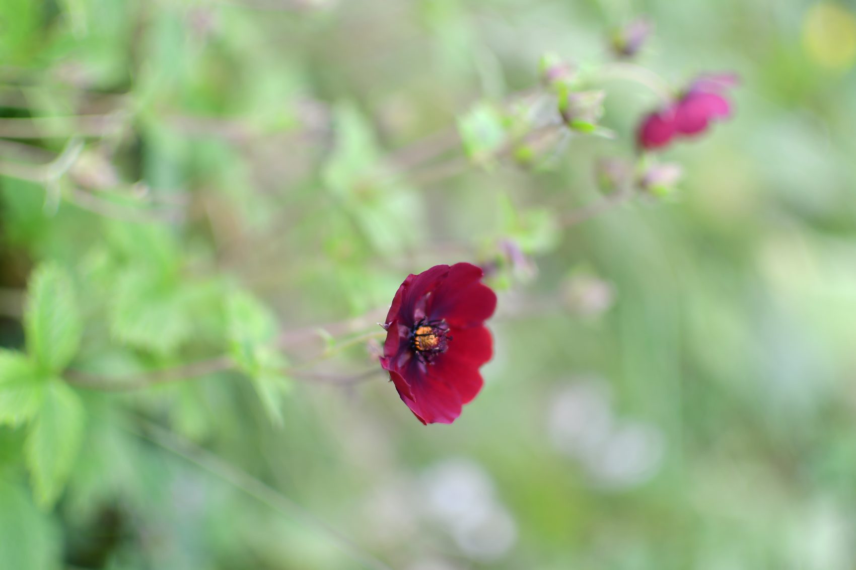
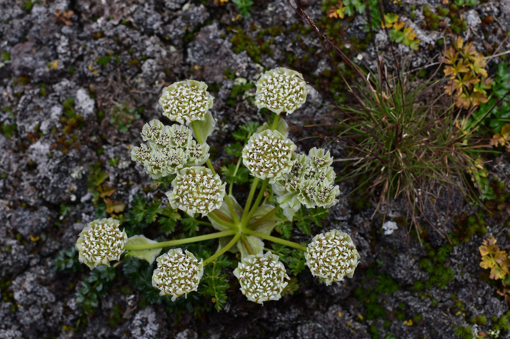
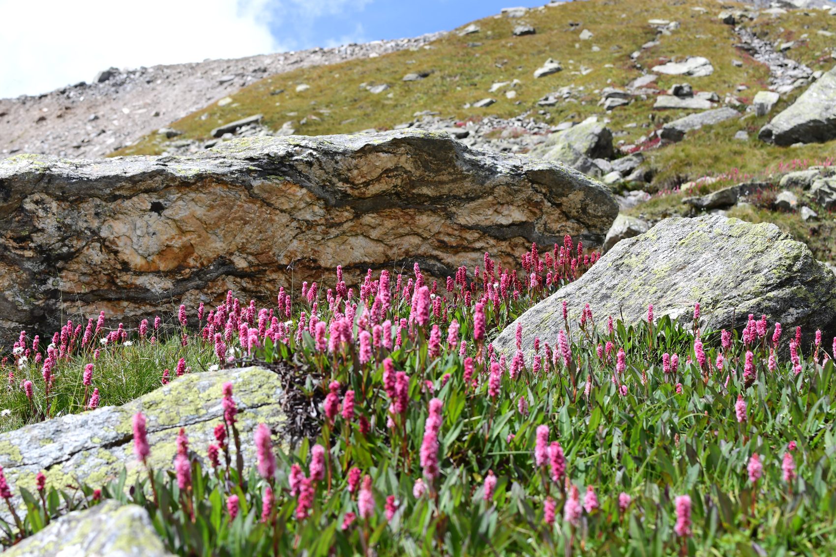
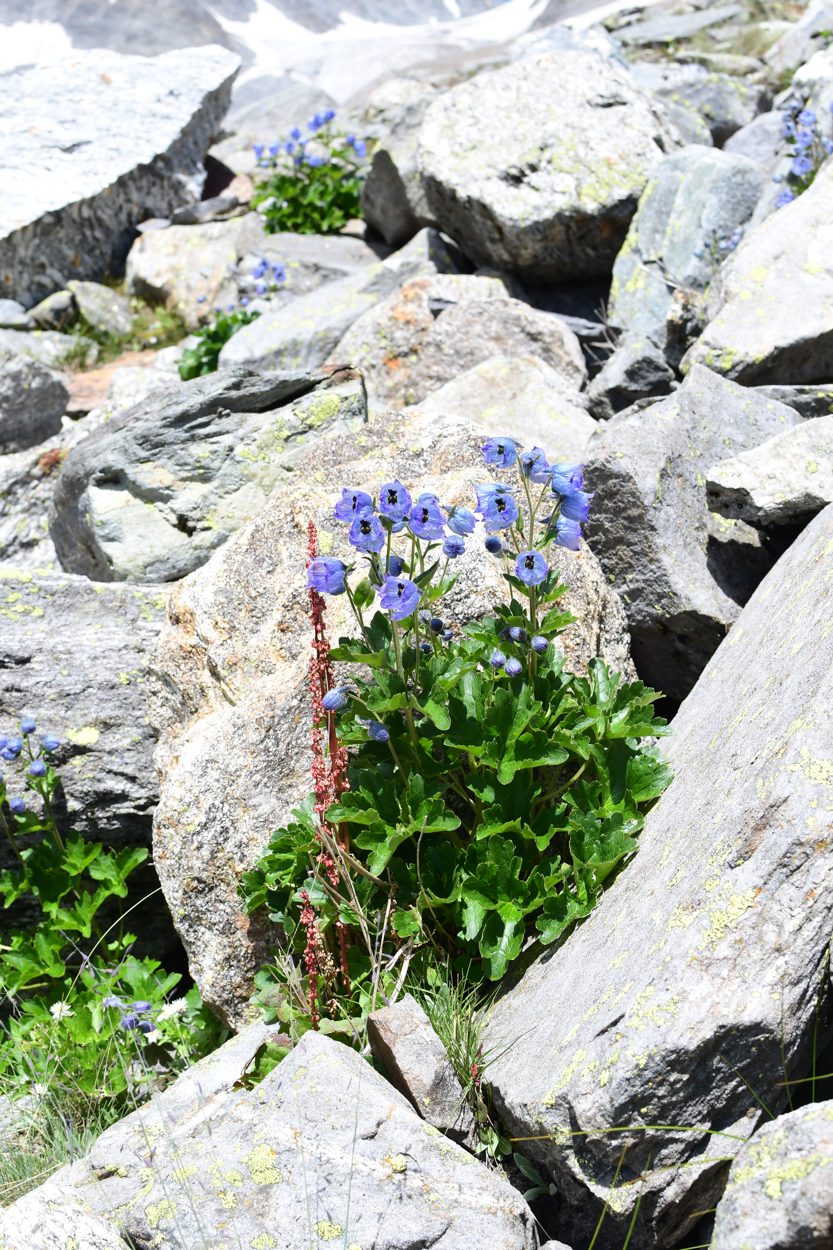
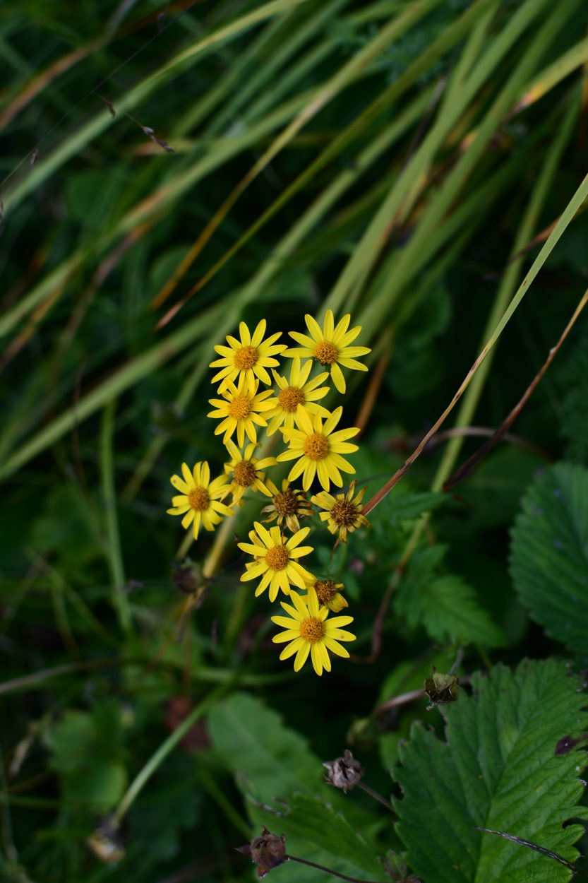
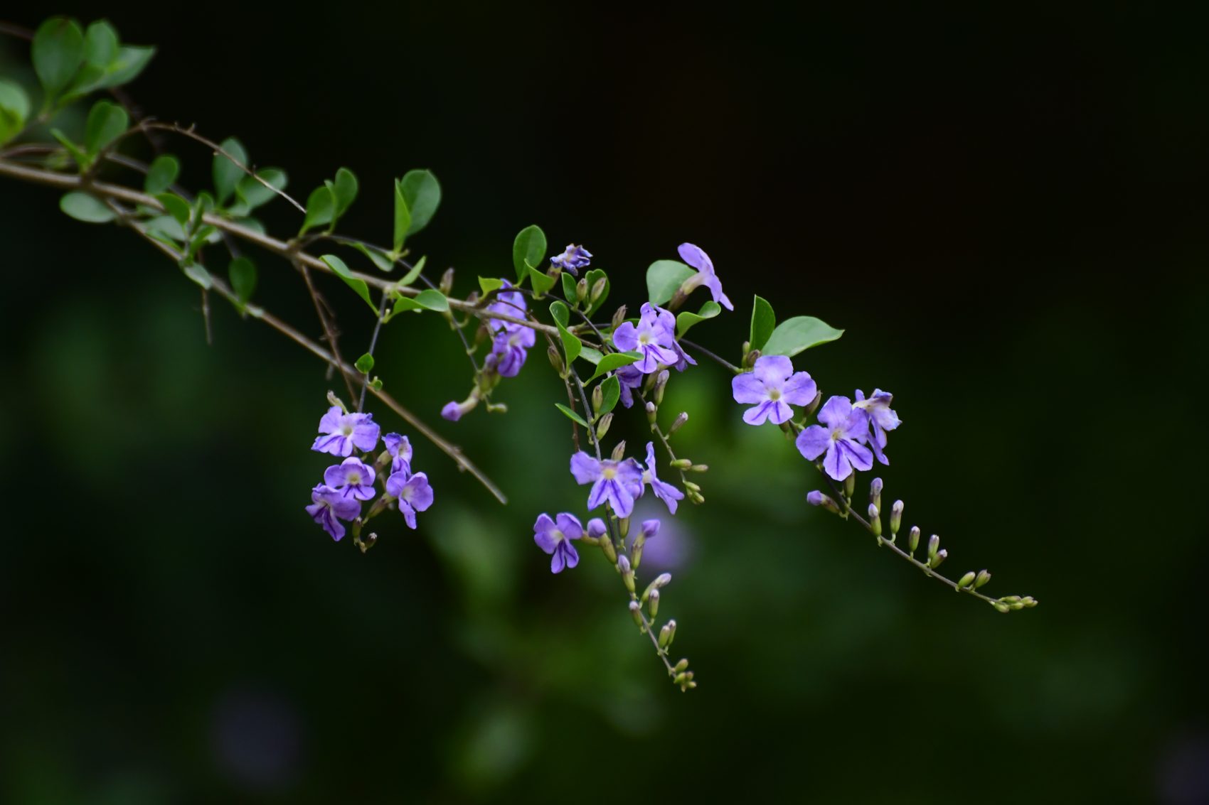
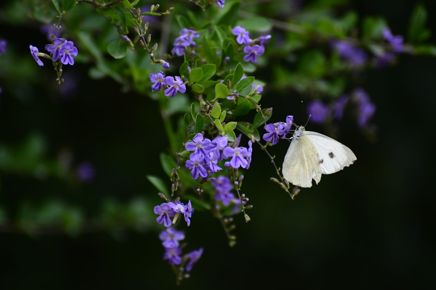
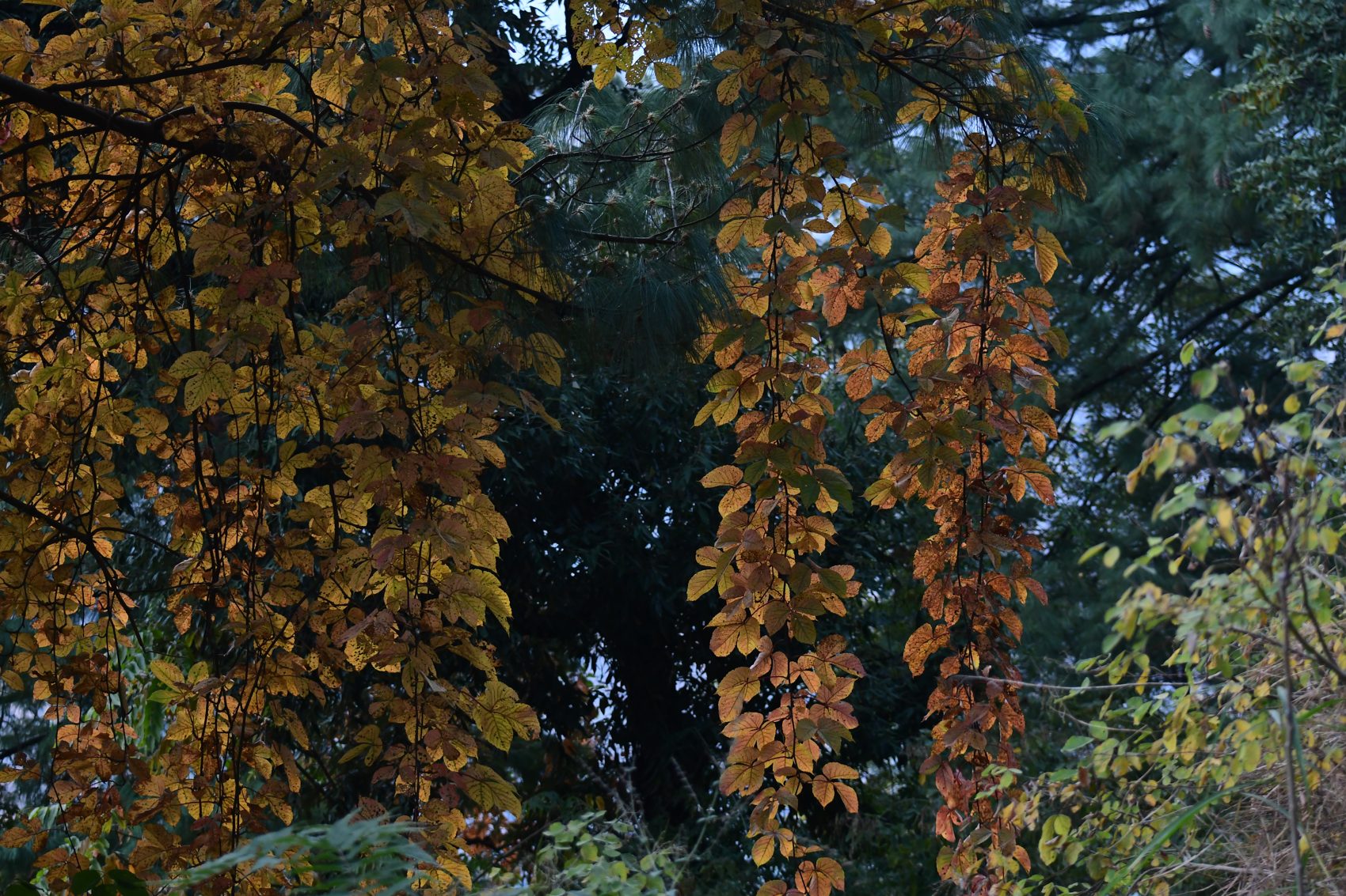
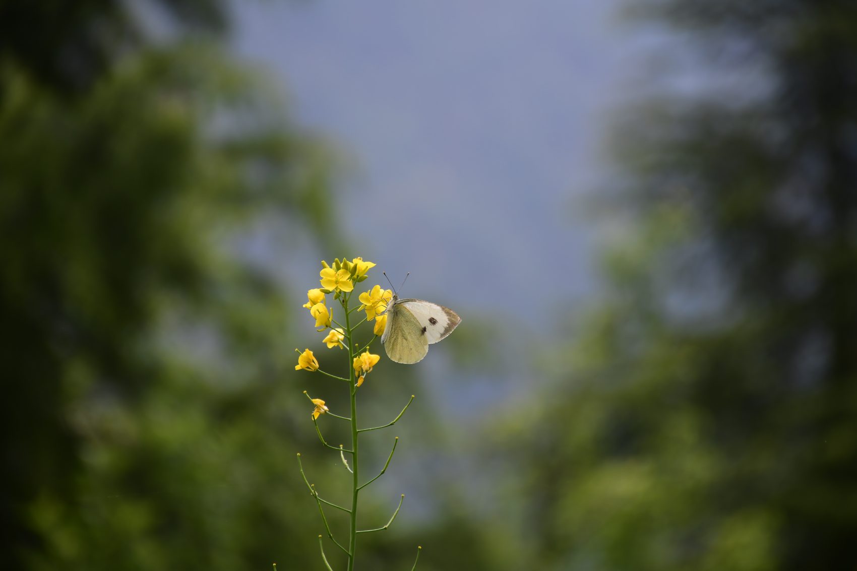
From forest ferns and lichens to alpine flowers, fungi and pollinators, the photographs below show a small part of the region’s living variety. GHNP’s official biodiversity page reports 832 plant species, 31 mammal species, 209 bird species and diverse reptiles, amphibians and insects. The images are captioned by visible form and habitat rather than uncertain species names; local identification can be added when verified.
Source: Great Himalayan National Park · Flora and Fauna. Park rules prohibit removing plants, flowers or other natural objects.

Friendship Peak · mountaineering expedition · 8 days
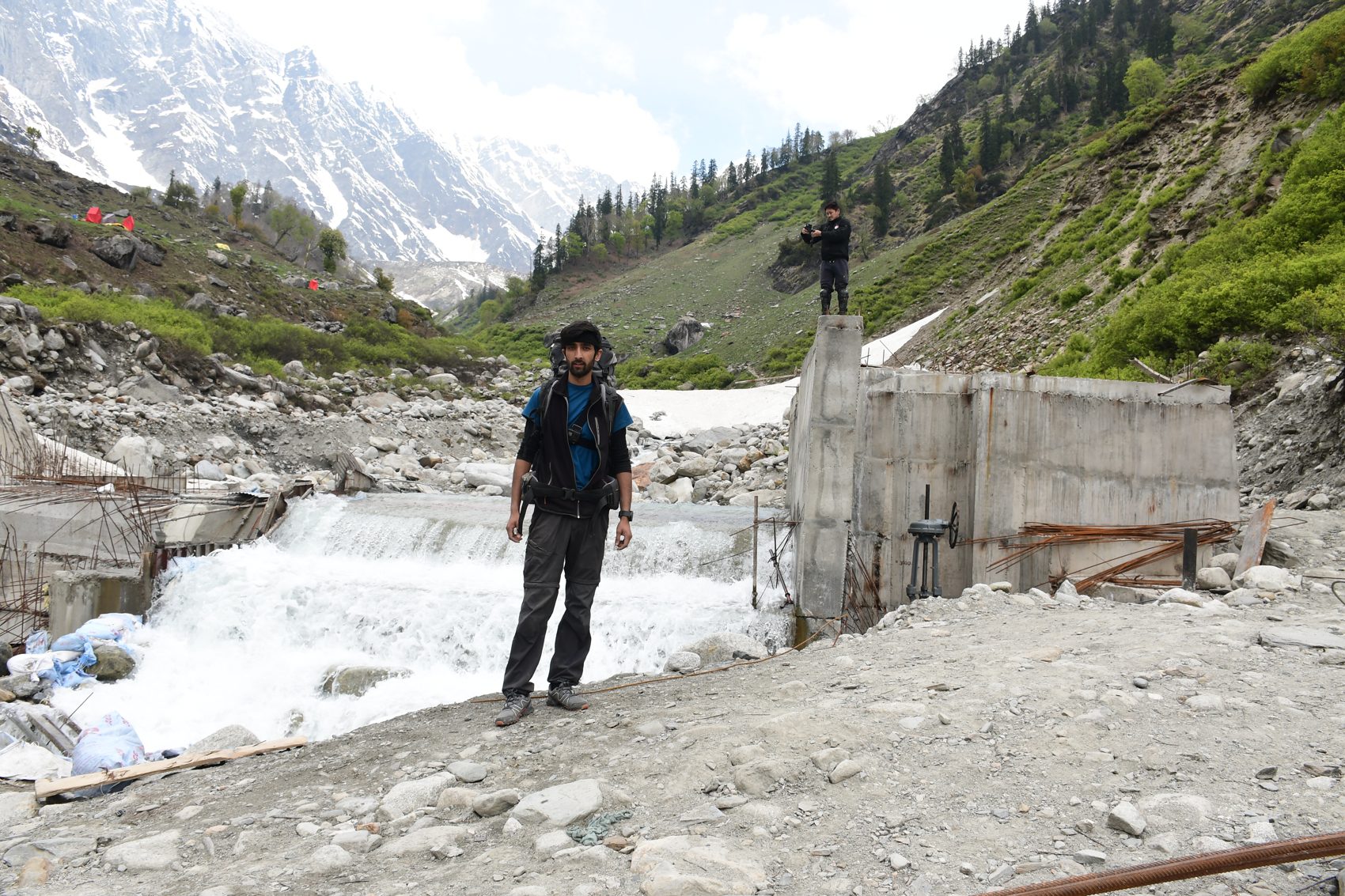
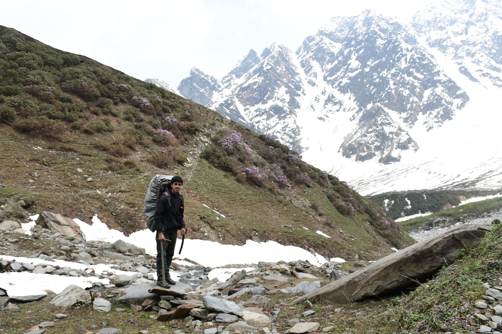
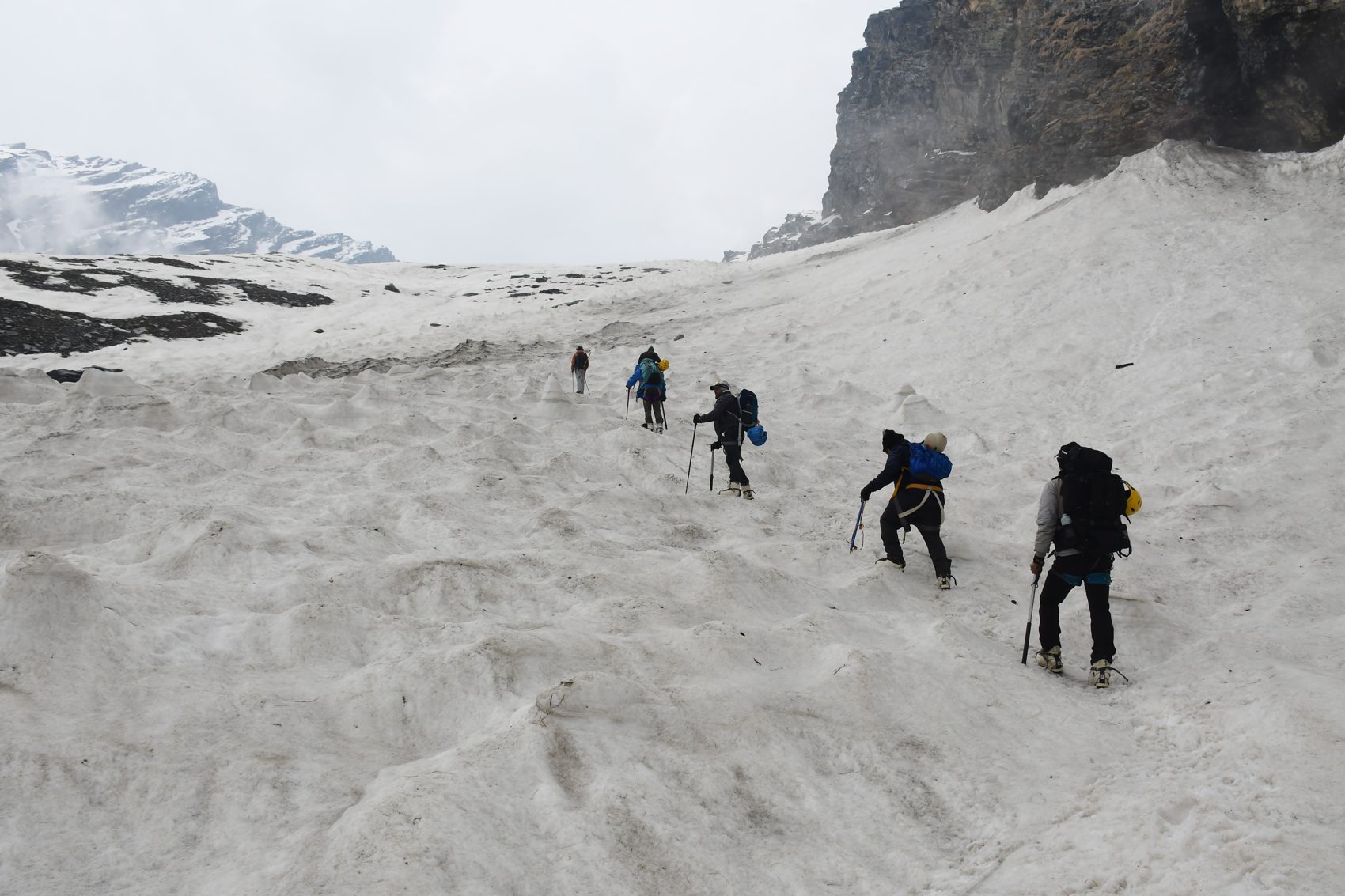
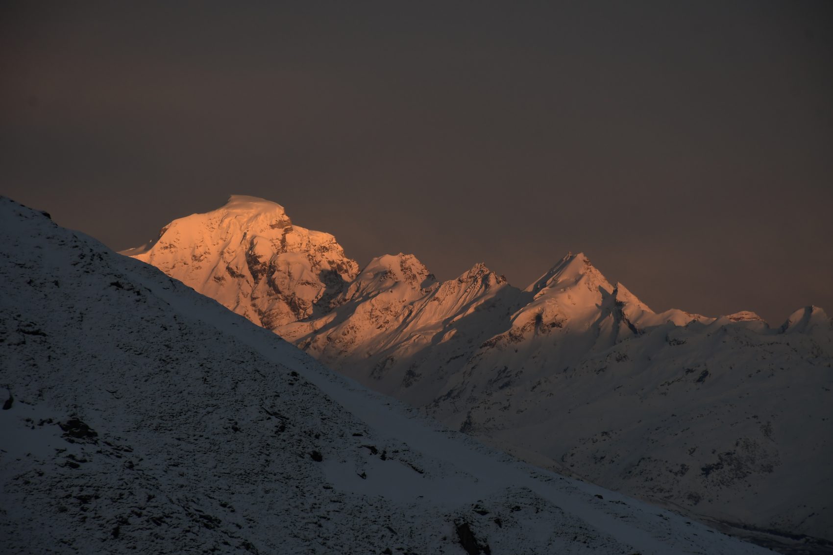
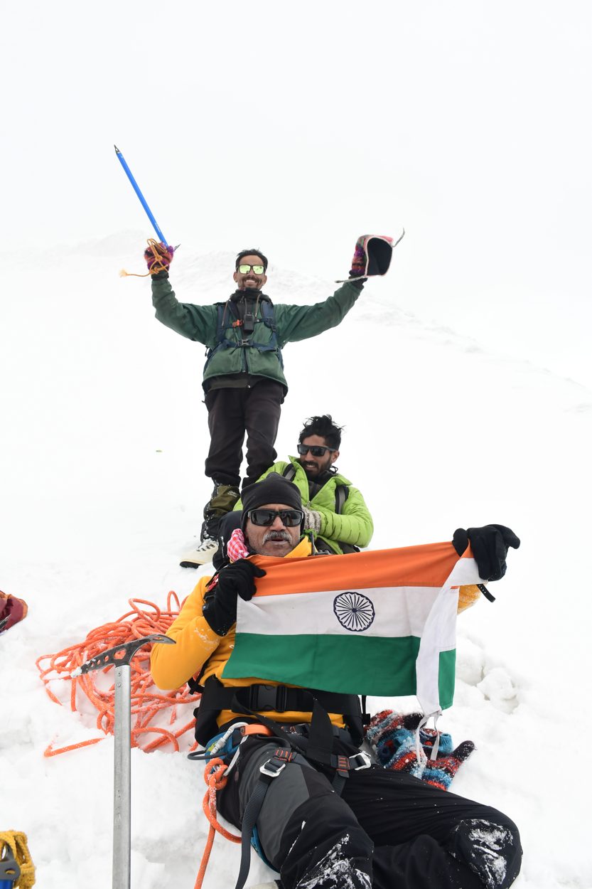
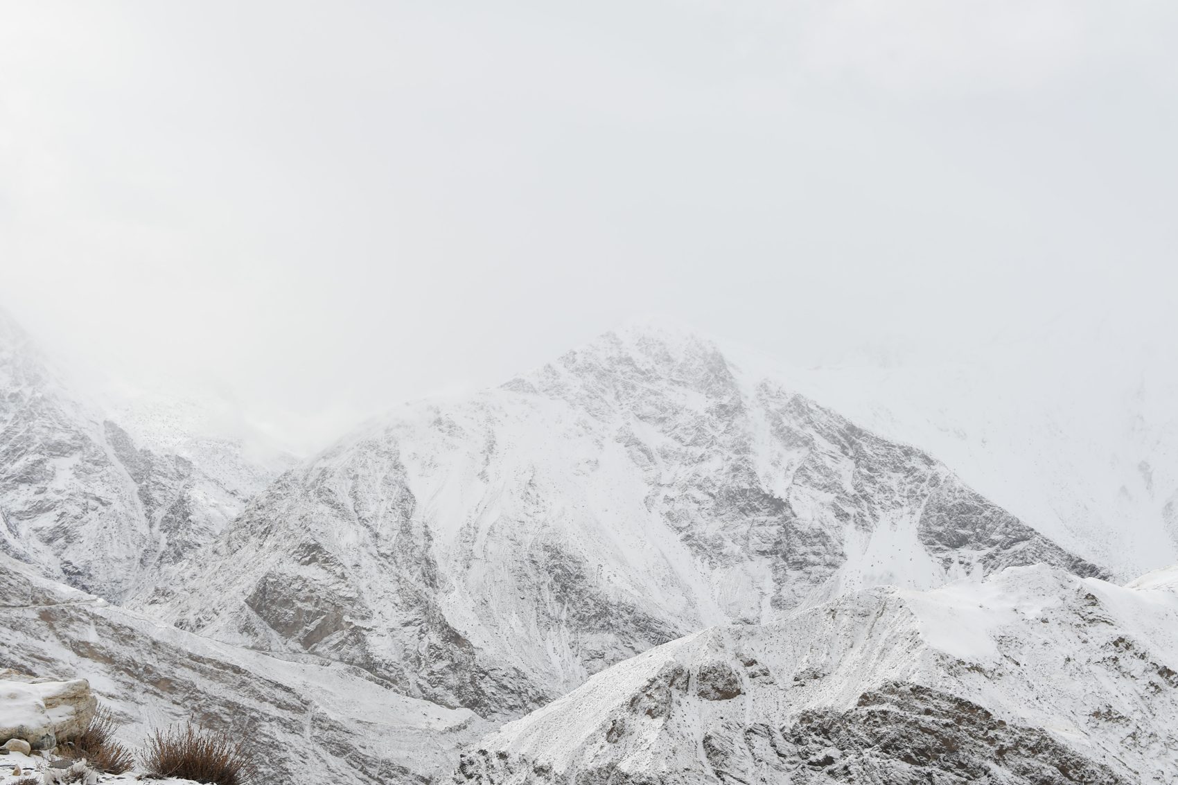
An expedition toward Friendship Peak (about 5,289 m) from the Manali side, with a gradual approach, acclimatization, snowcraft preparation and a weather reserve. This is a mountaineering objective involving snow and glacier terrain—not a standard valley trek. The summit attempt is conditional on the team’s condition, route assessment, permits and weather.
Meet the expedition leader, review equipment, health and route plans, and rest. An easy acclimatization walk is planned only if appropriate.
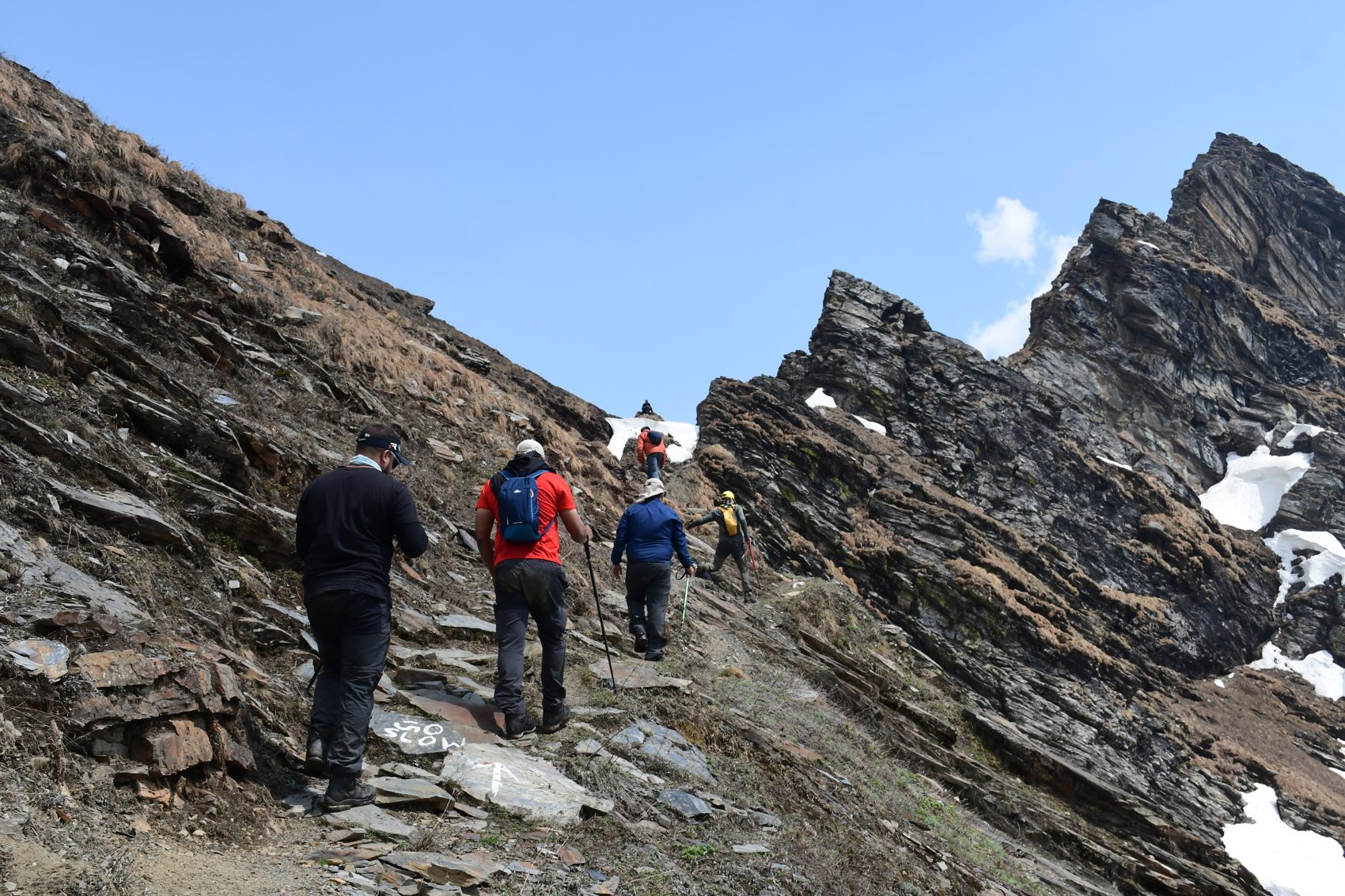
Drive to Dhundi and begin the approach on foot toward the high meadows and the first campsite. The team sets a conservative pace and checks everyone’s response to altitude.
Continue higher to the base-camp area. Settle in, hydrate and take a short acclimatization walk if conditions and the leader allow.
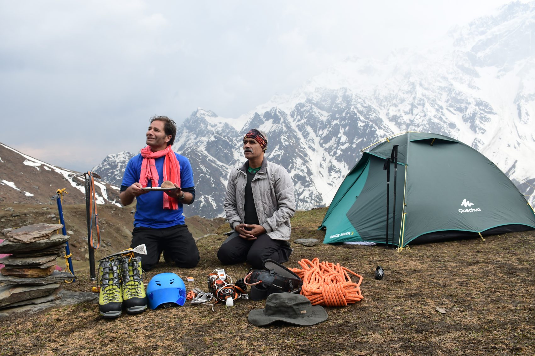
Use a rest-and-training day for movement on snow, crampon and ice-axe familiarization, rope procedures and a load ferry, led by qualified mountaineering staff.
Carry essential equipment to the high camp when the route, weather and acclimatization plan support it. Rest early for the possible summit window.
If the leader judges conditions safe, make an early summit attempt and descend to the planned camp. The team turns around if weather, snow, health or timing makes continuation unsafe.
Keep this day available for weather delays, acclimatization or recovery. A summit is never guaranteed, and the leader may change the plan.
Retrace the approach to Dhundi and transfer to Manali. Expedition concludes after a team check-out.
Route context: Kullu Mountaineering Association · Friendship Peak expedition · Indian Mountaineering Foundation.
Winter Spiti · 13 days / 12 nights
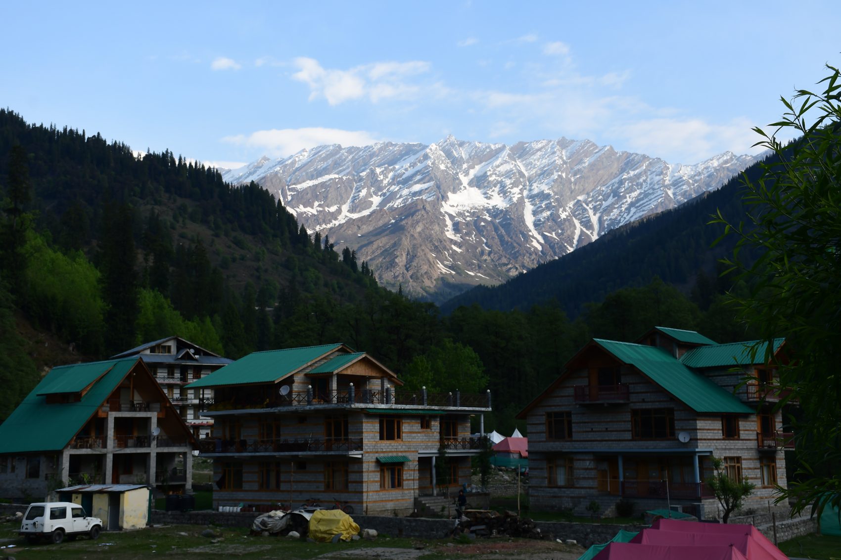
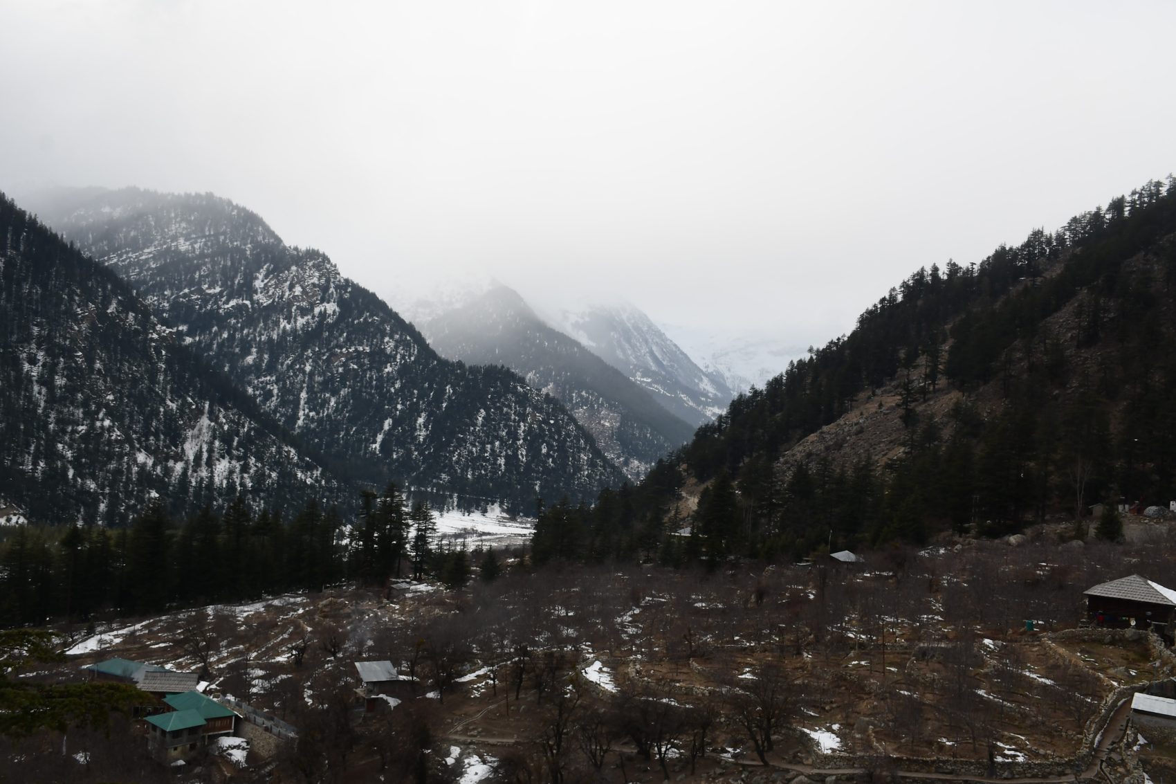
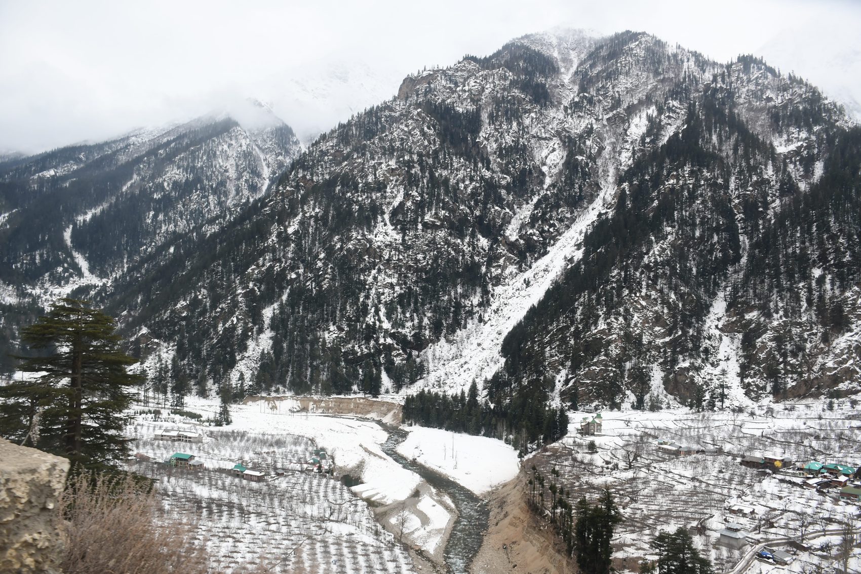
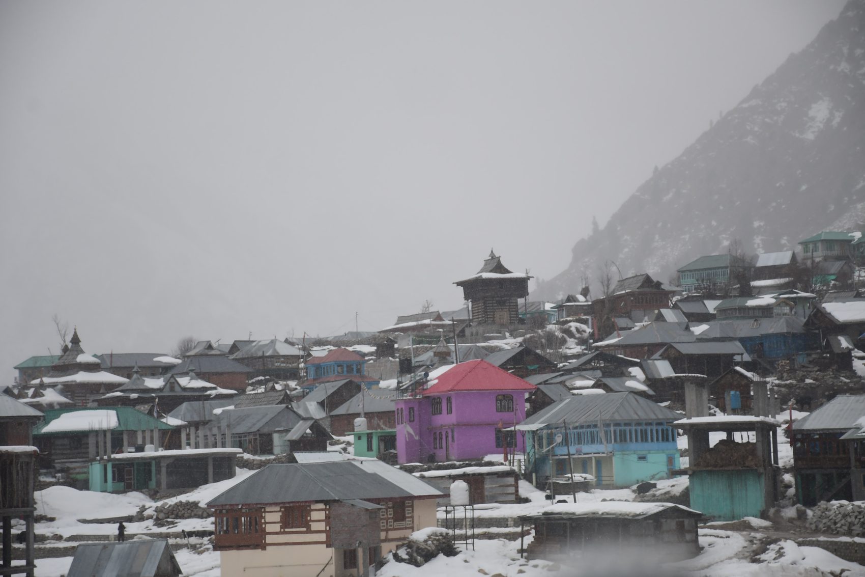
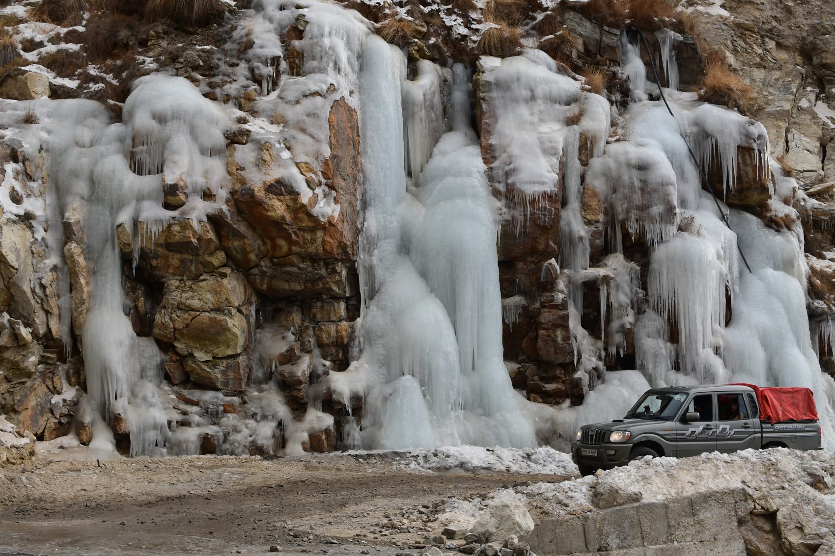
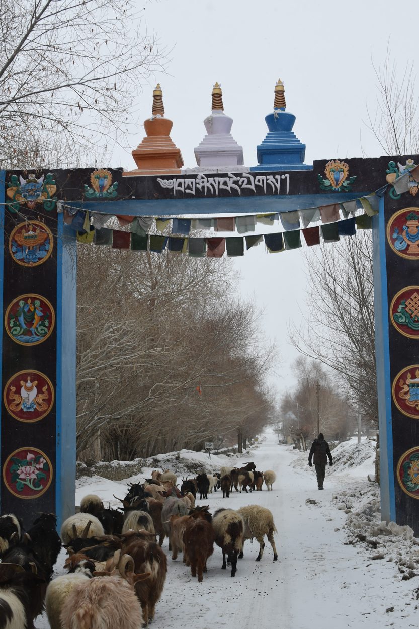
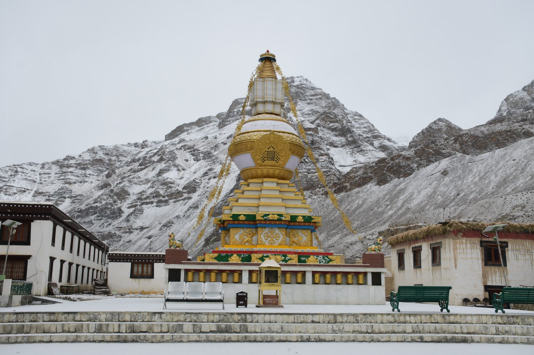
Travel from Shimla through Kinnaur toward Tabo and Kaza, then explore the high villages only when local road and weather conditions allow. Winter transforms the landscape, but also slows every journey: this itinerary includes acclimatization, short days and a flexible buffer.
Begin the road journey toward Kalpa. Break the drive as needed and arrive with time to rest.
Take an easy village day, enjoy views toward the Kinnaur range and prepare for the higher valley ahead.
Continue through Kinnaur to Nako. Short stops are planned around road conditions and daylight.
Travel to Tabo and settle in. Keep the afternoon unhurried after the high-altitude drive.
Explore Tabo at a gentle pace, with time for local heritage, the monastery complex and rest. Respect local customs and photography requests.
If the road is open and safe, visit the Dhankar area en route to Kaza. Continue only with a current local road assessment.
Keep the day light: rest, hydrate, check weather and road updates, and learn about the cold-desert environment.
A day drive to nearby villages may be possible when roads, visibility and local advice permit. If conditions are poor, remain in Kaza and enjoy a short local walk.
Visit high villages only if roads are confirmed open and safe. Keep the route flexible, with time to return before dark.
Reserve this day for weather delays, recovery or a shorter locally approved excursion. This buffer protects the rest of the route.
Return toward Tabo in daylight, with breaks and a confirmed overnight stop.
Travel back through Kinnaur to Kalpa. Road time may lengthen in winter; keep onward plans flexible.
Complete the drive to Shimla. Consider an extra night if road or weather conditions require it.
Current information: District Lahaul & Spiti · How to Reach · District road status · Facilities and services.
Yoga and meditation · outdoor practice
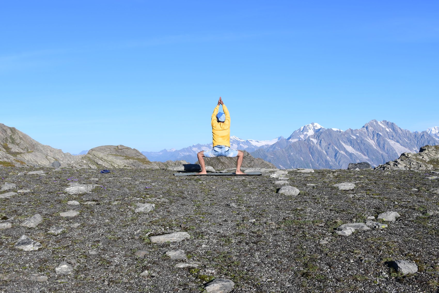
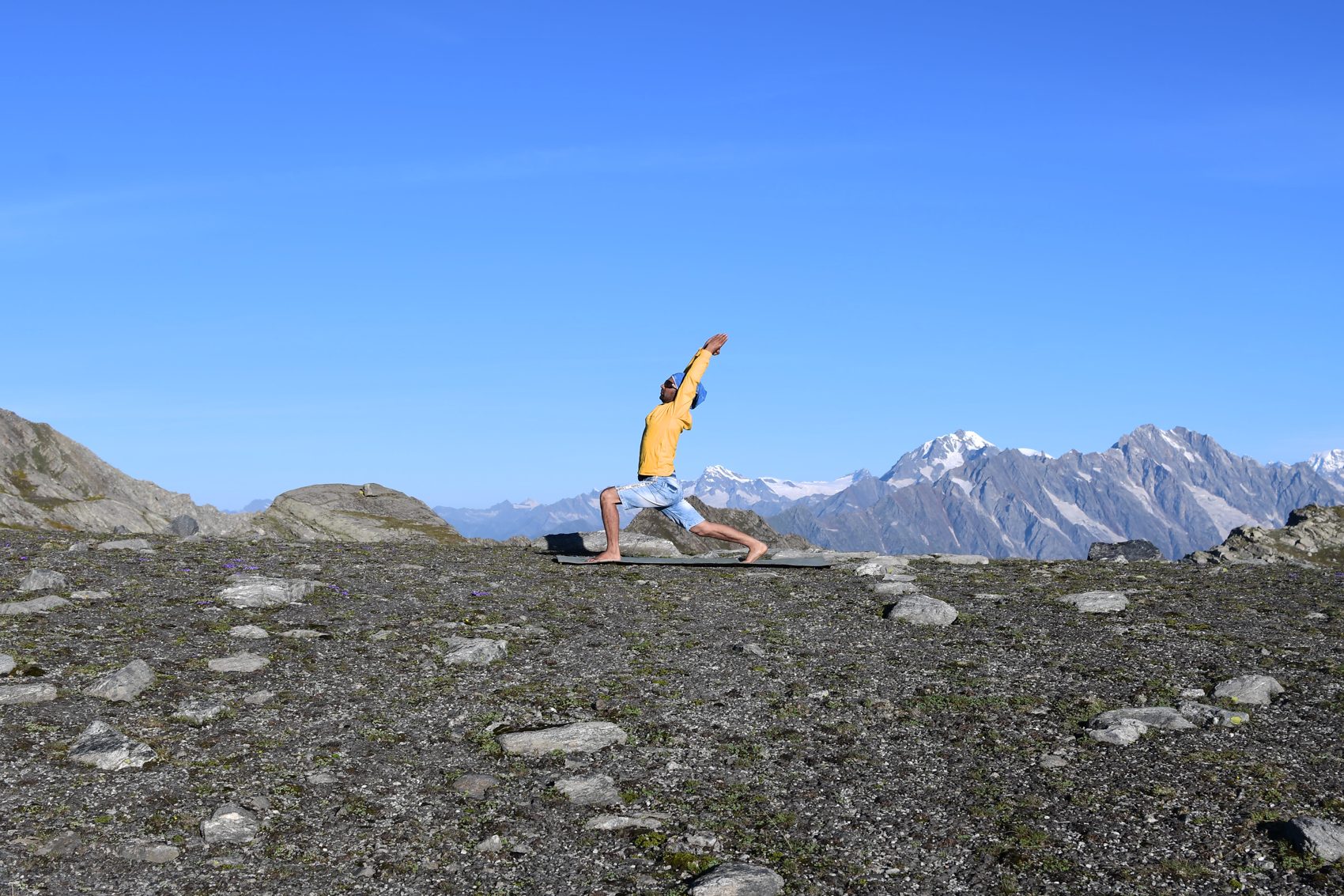
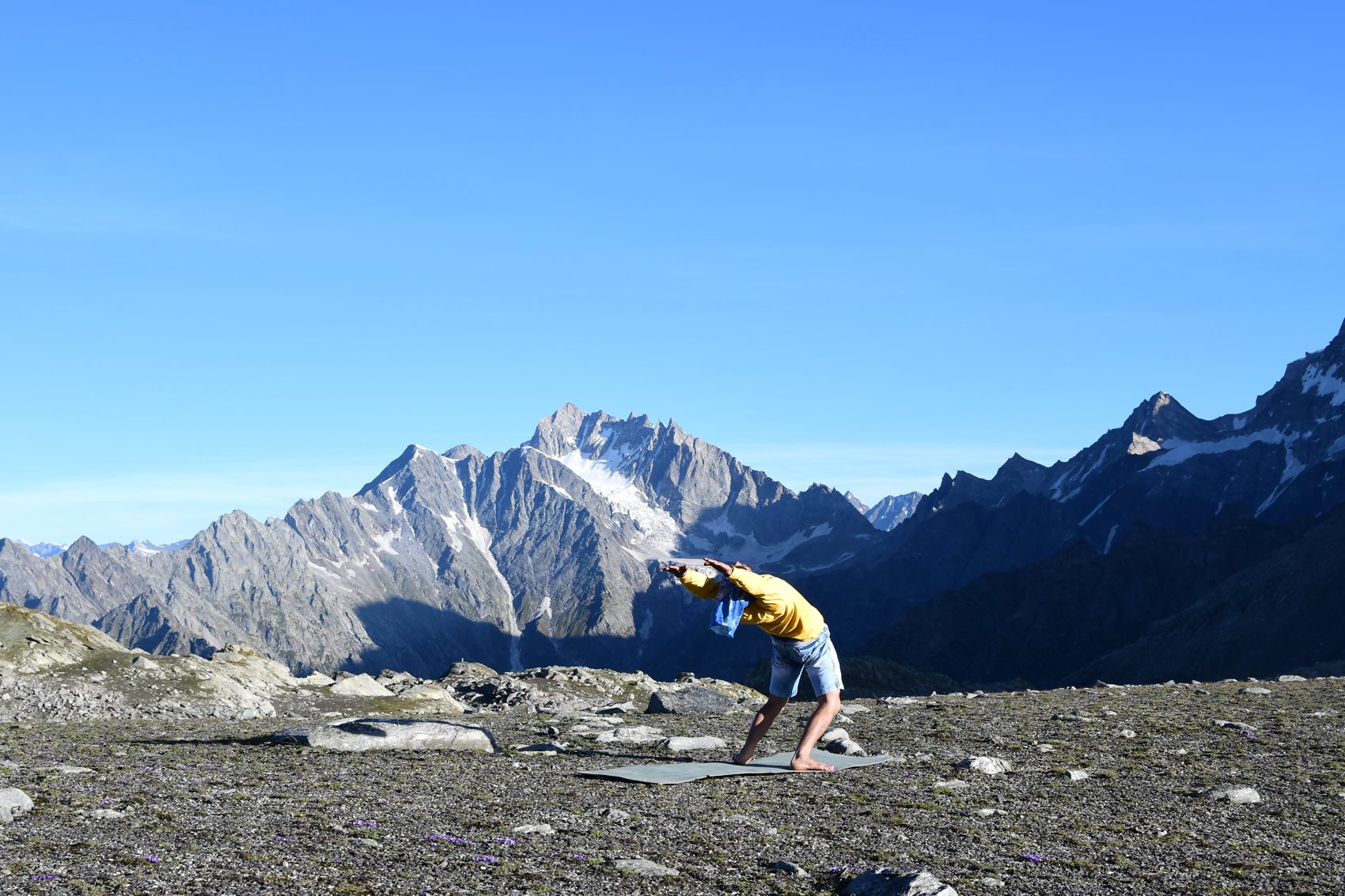
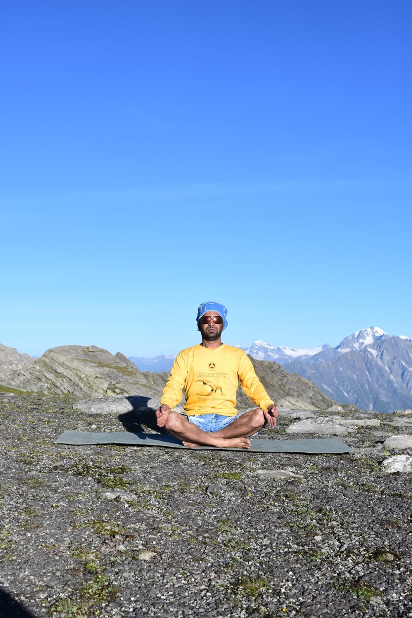
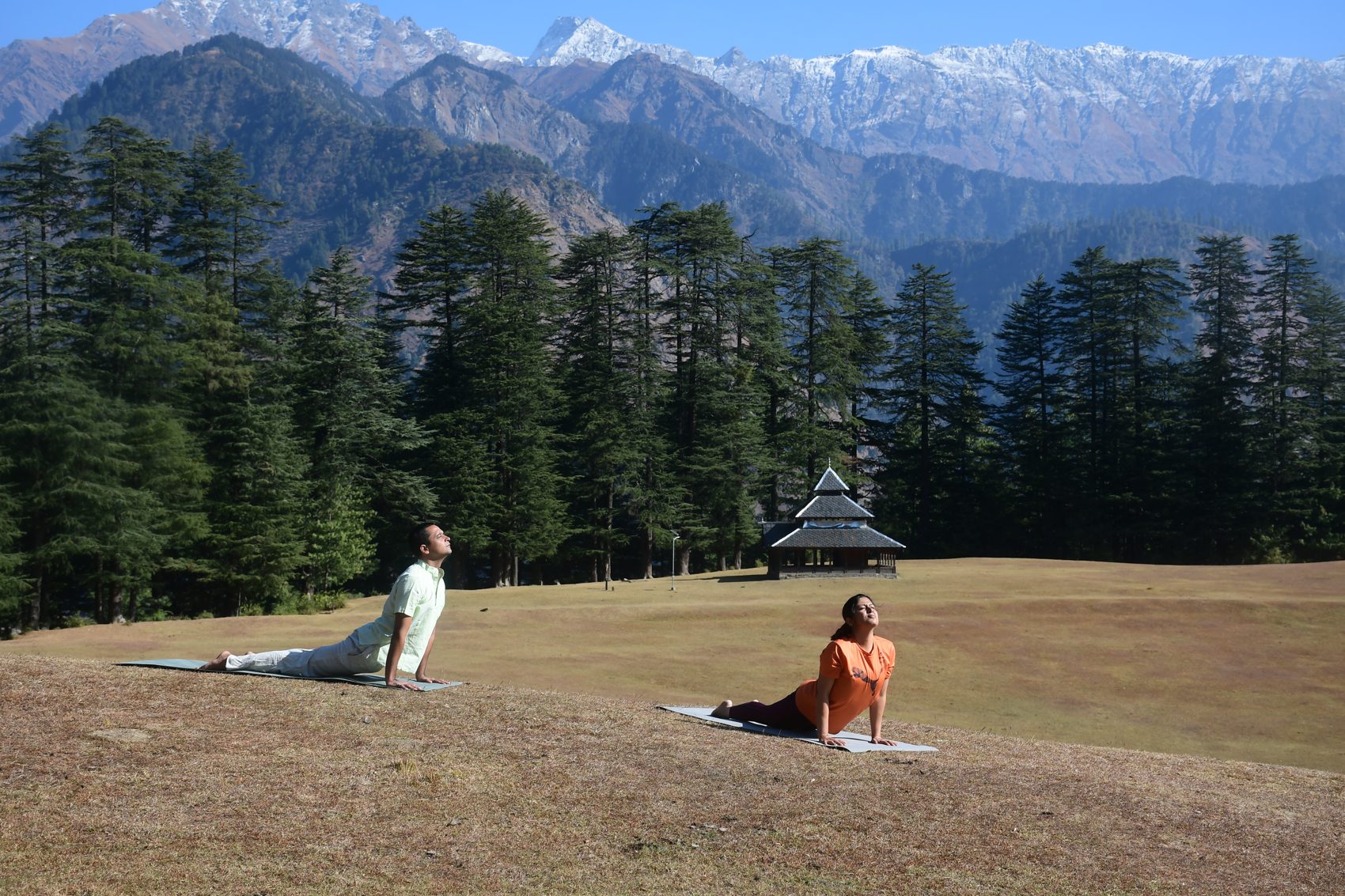
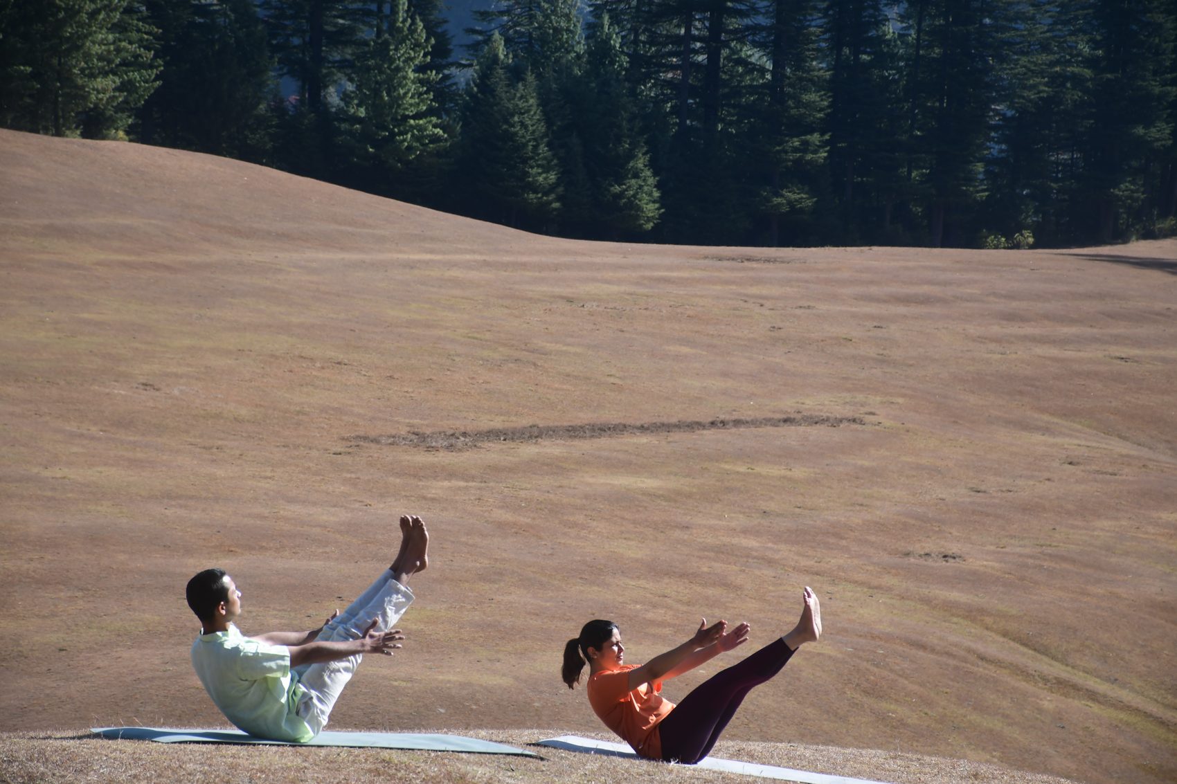
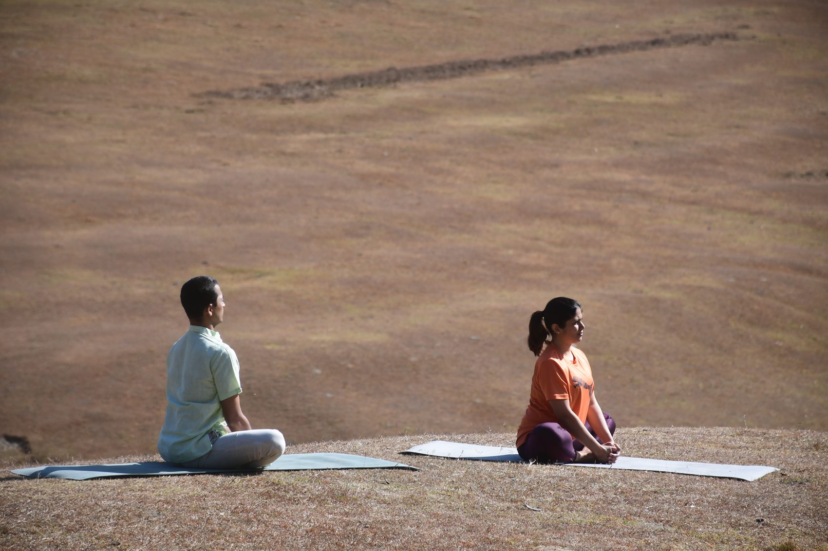
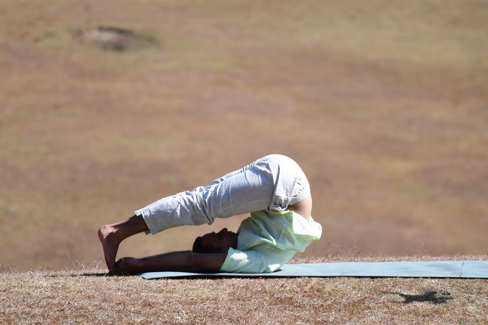
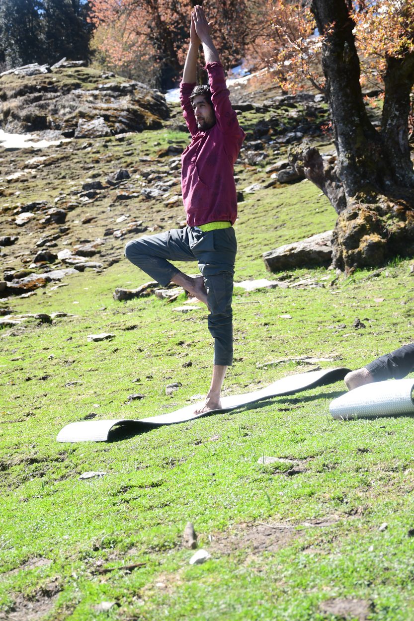
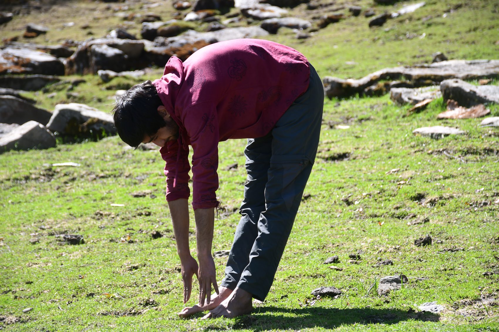
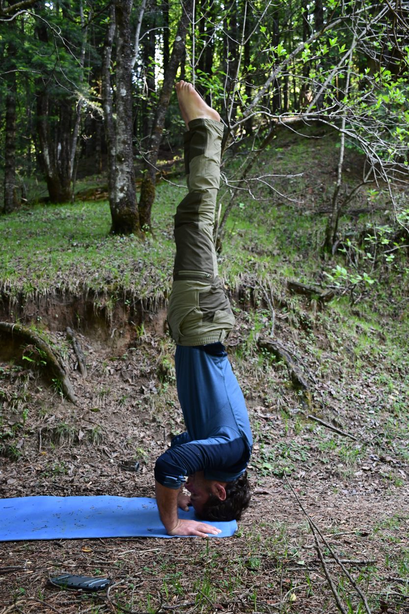
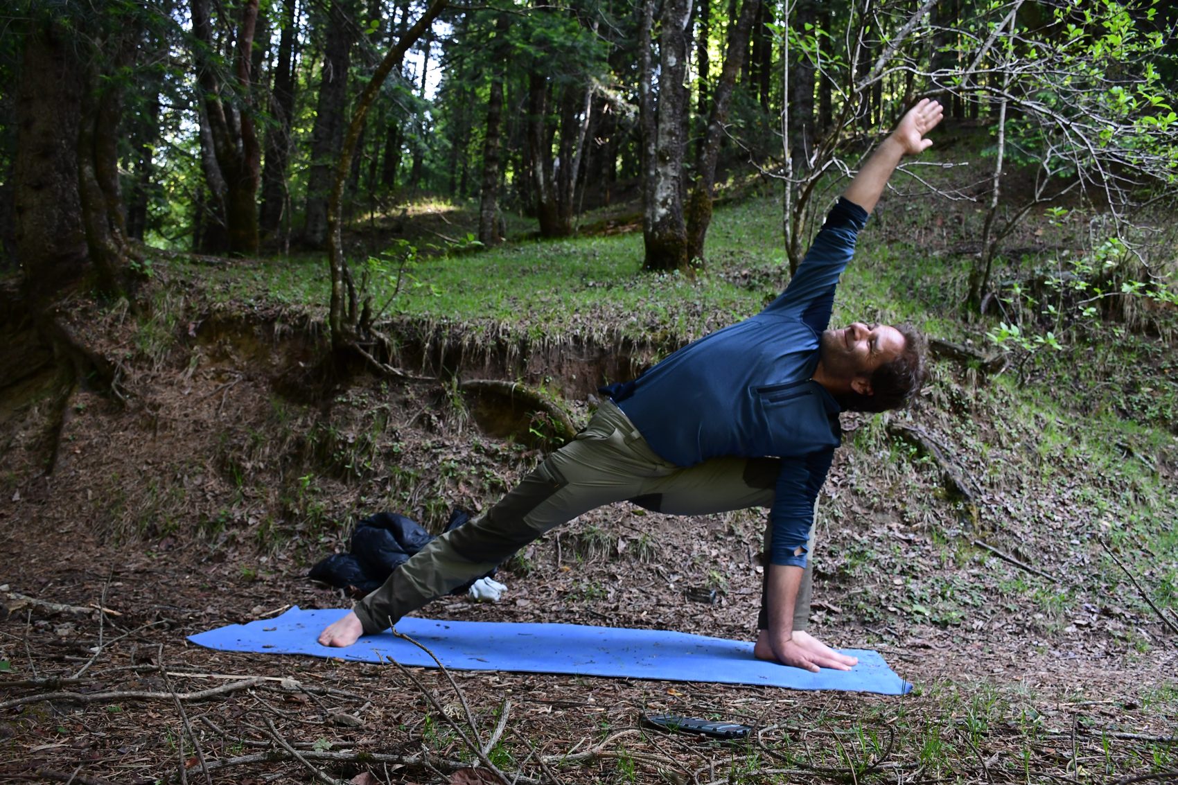
A guided, adaptable practice in a meadow, forest clearing or other quiet setting. Sessions may include grounding, breath awareness, standing stretches, balance, gentle backbends, seated stillness and a closing relaxation. The poses shown are examples from the project photos—not a fixed class or a promise of therapeutic benefit. Each practice is adapted to the participant and the ground, weather and altitude.
Mountain pose with an upward reach, side bends and a supported tree-pose variation invite steady footing and gentle range of motion. Keep the knees soft and use a wall or guide for balance when needed.
Easy seat offers a stable place for breathing or meditation. Forward folds, boat-pose variations and a gentle bow-pose variation should remain comfortable; skip anything that strains the back, neck or joints.
The photographs include headstand and side-plank variations. These are advanced shapes and are not suitable for everyone. They should be optional, supported and guided by a qualified yoga teacher; seated breathing or rest is always an alternative.